
 English
 Español
 Français
 Italiano
 Deutsch
 Русский
 Português
 Polski
 Română
 Svenska
 Norsk bokmål
 Suomi
 Türkçe
 العربية
 简体中文
 한국어
 हिन्दी
 Ελληνικά
03 · Megalithic technology · follow the work chain
The quarry remained visible
Hwasun: from rock to monument
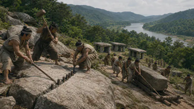
The rocks near the dolmens allow investigation of where the slabs came from and how they could have been transported.
Museum documentation · free public access, no account required.
Generated reconstruction · Declared visual hypothesis
Declared visual reconstruction for museographic context; it is not a photograph of the original nor documentary evidence.
History and context
In Hwasun hundreds of dolmens and outcrops from which their stones could have been quarried are preserved. The proximity between quarry, slope and monuments allows investigation of cutting, transport and block selection.
The monumental result conceals many tasks: locating fractures, preparing paths, feeding work crews and coordinating the lifting. We do not know the exact labour system; the scale demonstrates collective capacity, not necessarily a centralised state.
In Hwasun, monuments, blocks in progress and outcrops can be observed within the same corridor. The slope may have facilitated descent, but transporting a capstone still required prepared tracks, levers and coordination.
The landscape preserves more than five hundred dolmens according to UNESCO. That density represents many accumulated decisions, not a work executed at once by a king.
Evidence and interpretation
Documented fact: UNESCO notes that associated quarries can be identified in Hwasun and records large groups of monuments from the 6th–5th centuries BCE. Interpretation and caution: number of workers, coercion, duration of work and responsible authority are not preserved. Expanded documented fact: UNESCO documents more than 500 dolmens and outcrops identified as stone sources. Expanded interpretation and caution: Rollers, sledges and number of workers are possible experimental reconstructions, not complete equipment found.
Catalogue facts
- Narrative date
- Mainly 6th–5th centuries BCE
- Location
- Hyosan-ri and Daesin-ri, Hwasun, South Jeolla
- Material
- Megalithic blocks, stone or wooden wedges and earth
- Context
- Quarries and concentrations of dolmens in the same landscape
- Curatorial reading
- The documented fact and its interpretation appear separately in the evidence block.
- Density
- The Hwasun ensemble contains more than 500 recorded dolmens.
- Chronology
- The UNESCO file places many examples from Hwasun in the 6th–5th centuries BCE.
- Operational chain
- The proximity of quarries allows the study of selection, extraction, transport and erection.
- Documentary coverage
- 2 museum, heritage, primary corpus or research sources for this stop.
A SHARED TOPIC, DIFFERENT MOMENTS
Objects connected through time
Follow a topic across the collections. A shared tag is a way to compare objects, not proof that one culture influenced another.
The order uses the midpoint of each approximate date range; ranges can overlap. Spacing does not represent elapsed time. Swipe, scroll or use the arrows. With the sequence focused, use ← / →, Home or End.
THE CURRENT OBJECT
Its date is not sufficiently established to place it on the timeline. We keep it here, separate from the dated objects.
 You are viewing
Mainly 6th–5th centuries BCE
The quarry remained visible
Gojoseon and early Korea
Quarry and dolmen ensemble; not an individually dated piece.
Current recordStone19 dated objects
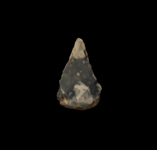
≈425,000–375,000 years
Swanscombe handaxe
Prehistory
Approximate catalogue age for the Hoxnian interglacial (MIS 11); editorial reference 2026 for ordering only, not calibrated dating.
Read the record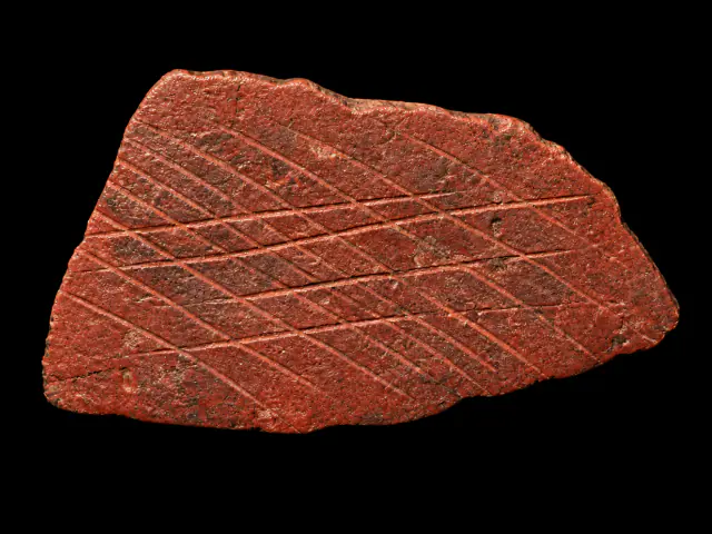
≈77,000–75,000 years
Engraved ochre from Blombos
Prehistory
Approximate catalogue age; editorial reference 2026 for ordering only, not calibrated dating.
Read the record
≈25.500–23.500 BCE
Before the San
San histories
Date of the representative element, not ethnic attribution of its authors.
Read the record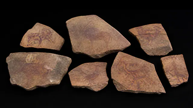
≈25.500–23.500 BCE
Before the name San
San histories
Dating of the context of the slabs; anonymous authors.
Read the record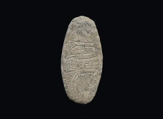
PPNA · site proposal: ≈9600–8800 BCE, provisional
Engraved stone from Çakmaktepe
Prehistory
Provisional date range for the site; not direct dating of this stone.
Read the record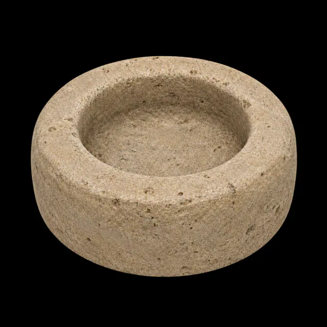
PPNA · ≈9600–8800 BCE, provisional proposal for the site
Grinding stone from Çakmaktepe
Prehistory
Provisional date range for the site and the published tools; the identification of the image is unverified.
Read the record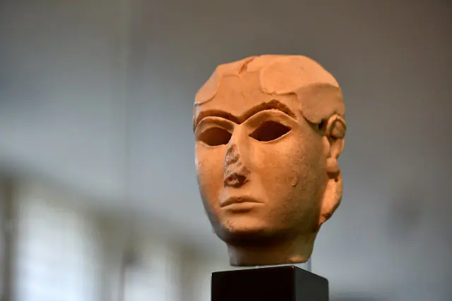
End of the 4th millennium BCE
Warka Mask
Sumer
The full 4th millennium BCE provides broad limits for chronological ordering; the record specifies the end of the millennium.
Read the record
c. 3500–3100 BCE
Cylinder seal
Sumer
Approximate dating according to the record.
Read the record
ca. 3300–3000 BCE
Uruk Vase
Sumer
Approximate dating according to the record.
Read the record
ca. 3100 BCE
Narmer Palette
Ancient Egypt
Approximate dating according to the record.
Read the record
Towards 2900–2600 BCE
Worshiper of Tell Asmar
Sumer
Approximate dating according to the record.
Read the record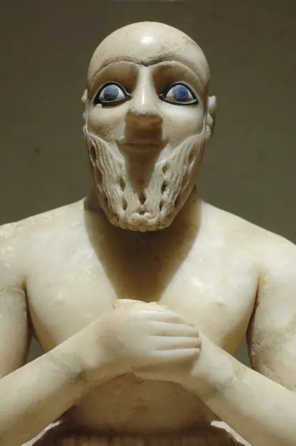
Towards 2400 BCE
Statue of Ebih-Il
Sumer
Approximate dating according to the record.
Read the record
ca. 2600–1900 BCE
Weights
Indus civilisation
Date range for the system of weights, not a year-specific date for each example.
Read the record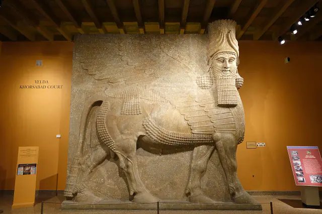
Reign of Sargon II · 721–705 BCE
Lamassu of Khorsabad
Sumer
Reign interval associated with the piece.
Read the record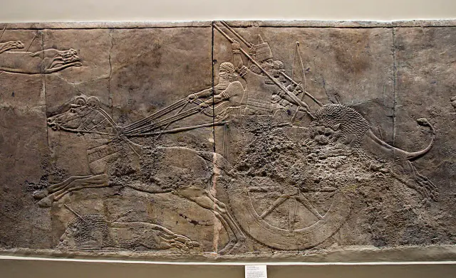
645–635 BCE
Ashurbanipal Hunt
Sumer
Approximate dating according to the record.
Read the record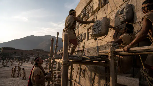
c. 800–300 BCE
Heads on the wall
Pre-Inca cultures
Framework of the set of architectural heads.
Read the record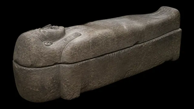
first quarter of the 5th century BCE
Sarcophagus of Eshmunazar
Phoenicians
First quarter of the 5th century BCE
Read the record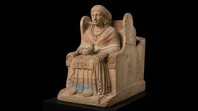
First half of the 4th century BCE
The statue was the urn
Iberians
First half of the 4th century BCE; date of the funerary context.
Read the record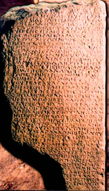
4th century BCE
The inscription of Pistiros
Thracians
Approximate dating according to the record.
Read the record
Also connected, without a comparable date (9)
These objects are not placed after the others: an unknown date does not mean a more recent object.
- A White Wall on the DanubeCeltic worlds · 6th century BCE
- CemeteryIndus civilisation · ca. 2600–1900 BCE
- Engraved stonePrehistory · Before ≈39,000 cal BP
- Four gardens and waterAchaemenid Persia · 6th century BCE
- Kumbi SalehMande Worlds · medieval occupation; prominent phases between the 11th and 13th centuries
- Soma stonesVedic and later Indian worlds · Rigvedic strata; later ritual tradition
- The Thracian HorsemanThracians · Roman era · diffusion especially in the 2nd–3rd centuries CE
- Tichitt wallsMande Worlds · II–I millennia BCE
- Writing with gapsGaramantes · Diverse chronologies
A closer look
About 1 min to read · 1 section. Further reading and sources · free access. Editorial review recorded: .
The final lift may have required a ramp
The Hwasun Heritage Centre presents a construction model in which earth is piled around the supports to form a ramp. The capstone would be dragged over it and, once placed, the fill would be removed. It also presents transport on logs or by wooden sledges as possibilities. These are technical reconstructions, not machines preserved in the quarry. Their interest lies in breaking down the work: extracting and moving a rock to the monument does not solve how to raise it or how to stabilise it. Each phase needs its own solution and a distinct coordination.
Location and territory
LOCATED SITE
Daegok-ri/Hwasun · KoreaMegalithic landscape marker.Sources and references
Did you enjoy this exhibit?
Your opinion helps us improve the museum. You can change it whenever you like.
Loading your rating…