
 English
 Español
 Français
 Italiano
 Deutsch
 Русский
 Português
 Polski
 Română
 Svenska
 Norsk bokmål
 Suomi
 Türkçe
 العربية
 简体中文
 한국어
 हिन्दी
 Ελληνικά
09 · SITE · MARITIME CONTACT
Lothal
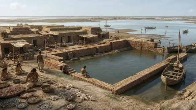
The great basin at Lothal
The large brick basin at Lothal has been interpreted as a dock, although its function is debated.
Museum documentation · free public access, no account required.
Generated reconstruction · Declared visual hypothesis
Declared visual reconstruction for museographic context; it is not a photograph of the original nor documentary evidence.
History and context
Lothal combines a great brick enclosure, production areas and evidence of contact with the Gujarat coast. Its famous basin has been linked to a quay, an interpretation that made the site an icon of ancient maritime trade.
The stop presents the hypothesis alongside its caution. The structure is real; defining it securely as a maritime dock depends on hydraulic models and archaeological debate.
The rectangular brick structure is spatially related to workshops and Gujarat routes. Its reading as a dock turned Lothal into an emblem of Harappan navigation.
River course changes, ancient levels and alternatives such as reservoir or tank condition the debate. The museum shows a hydraulic model with several hypotheses.
Evidence and interpretation
Documented fact: Lothal preserves a great brick structure and evidence of craft activity and exchange. Interpretation and caution: Its unequivocal identification as a dock is debated; other possible functions must be presented. Expanded documentation: Lothal preserves a great brick basin and evidence of coastal production and exchange. Expanded interpretation and caution: The port function is not unequivocal and must not be presented as “the world’s first port”.
Catalogue facts
- Narrative date
- ca. 2400–1600 BCE
- Location
- Lothal, Gujarat, India
- Material
- Fired brick, stone and shell
- Context
- Riverside settlement and workshops
- Curatorial reading
- The documented fact and its interpretation appear separately in the evidence block.
- Context
- Floodplain near the Gulf of Khambhat
- Associations
- Proposed bead, shell and storage workshops
- Documentary coverage
- 2 museum, heritage, primary corpus or research sources for this stop.
A SHARED TOPIC, DIFFERENT MOMENTS
Objects connected through time
Follow a topic across the collections. A shared tag is a way to compare objects, not proof that one culture influenced another.
The order uses the midpoint of each approximate date range; ranges can overlap. Spacing does not represent elapsed time. Swipe, scroll or use the arrows. With the sequence focused, use ← / →, Home or End.
THE CURRENT OBJECT
Its date is not sufficiently established to place it on the timeline. We keep it here, separate from the dated objects.
 You are viewing
ca. 2400–1600 BCE
Lothal
Indus civilisation
Settlement and workshops; not an individually dated piece.
Current recordArchitecture8 dated objects
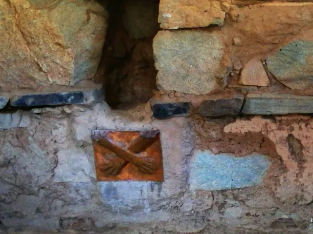
Kotosh-Mito Tradition, c. 2200–1500 BCE; the enclosure is usually situated around 1800 BCE.
Before Pre-Inca Cultures
Pre-Inca cultures
Element tradition interval; "around 1800" orients the enclosure.
Read the record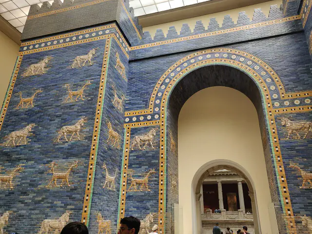
7th–6th centuries BCE · work of Nebuchadnezzar II
Ishtar Gate
Sumer
Wide interval of the piece and its phases; The museum setup is modern.
Read the record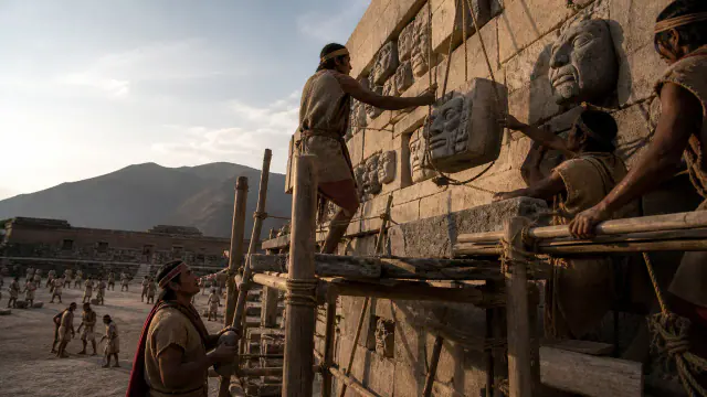
c. 800–300 BCE
Heads on the wall
Pre-Inca cultures
Framework of the set of architectural heads.
Read the record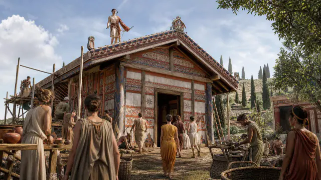
Towards 510–500 BCE
The god on the roof
Etruscans and Rome
Approximate dating according to the record.
Read the record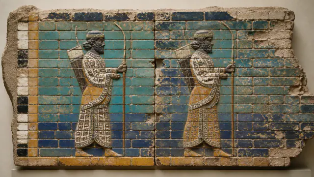
522–486 BCE
Glazed brick guards
Achaemenid Persia
Date range associated with the reign of the decoration.
Read the record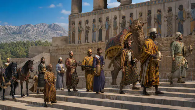
6th–5th centuries BCE, mainly under Darius and Xerxes
Twenty-three delegations
Achaemenid Persia
Interval of the monumental programme under several reigns.
Read the record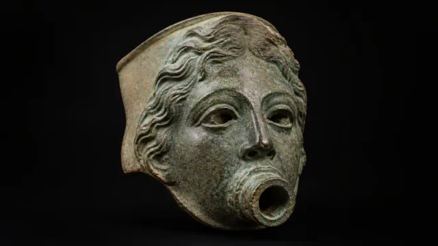
101–125 CE
Torreáguila fountain spout
Etruscans and Rome
Approximate dating according to the record.
Read the record
main period of Great Zimbabwe, c. 12th–15th centuries
Zimbabwe birds
Bantu-speaking worlds
Main period of the architectural complex, not the simultaneous manufacture of the birds.
Read the record
Also connected, without a comparable date (12)
These objects are not placed after the others: an unknown date does not mean a more recent object.
- A White Wall on the DanubeCeltic worlds · 6th century BCE
- CemeteryIndus civilisation · ca. 2600–1900 BCE
- Dia’s strataMande Worlds · 9th century BCE–2nd millennium CE
- Four gardens and waterAchaemenid Persia · 6th century BCE
- Jenne-jeno contextsMande Worlds · ca. 250 BCE–1400 CE
- Kumbi SalehMande Worlds · medieval occupation; prominent phases between the 11th and 13th centuries
- Livestock and moundsNubia, Kerma and Kush · c. 2050–1500 BCE
- Rice on stiltsYayoi Japan · Especially 1st–3rd centuries CE
- Rome learns in terracottaEtruscans and Rome · End of the sixth century BCE
- The altar cordVedic and later Indian worlds · Approximate composition and transmission c. 800–500 BCE, with revisions
- The quarry remained visibleGojoseon and early Korea · Mainly 6th–5th centuries BCE
- Tichitt wallsMande Worlds · II–I millennia BCE
A closer look
About 1 min to read · 1 section. Further reading and sources · free access. Editorial review recorded: .
Sealings and storage alongside the great tank
The Lothal record describes, near the basin, a platform interpreted as a warehouse, with traces of sealings and partially burnt walls. The imprints relate to the management of grouped goods prepared for circulation. This spatial association enlarges the water debate: a possible mooring point makes sense when compared with storage, package control and workshops. The identification of the basin as a dock remains an interpretation, but the setting allows discussion through documented activities around the structure.
- Heritage · UNESCO · Indicative dossier of LothalAccess recorded: .
Location and territory
LOCATED SITE
Lothal · IndiaArchaeological site marker.Sources and references
Did you enjoy this exhibit?
Your opinion helps us improve the museum. You can change it whenever you like.
Loading your rating…