
 English
 Español
 Français
 Italiano
 Deutsch
 Русский
 Português
 Polski
 Română
 Svenska
 Norsk bokmål
 Suomi
 Türkçe
 العربية
 简体中文
 한국어
 हिन्दी
 Ελληνικά
10 · CONTACT · NILE VALLEY
Nile towards Nubia
A frontier that was also a corridor
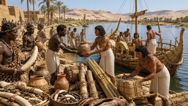
The Nile facilitated transportation and exchanges between Egypt and Nubia.
Museum documentation · free public access, no account required.
Generated reconstruction · Declared visual hypothesis
Declared visual reconstruction for museographic context; it is not a photograph of the original nor documentary evidence.
History and context
Abydos and other early Egyptian centers contain materials that point to contacts towards Nubia and the Levant. The Nile was a transportation axis, but not a unilateral highway: it connected communities with their own interests.
The stop contrasts a jug, a label and a river route. In this way he avoids turning contact into a simple Egyptian expansion without Nubian or Levantine agents.
Ivory, stones, ceramics and metals show relationships in both directions along the Nile. The Nubian communities were not a passive border: they controlled routes, produced goods and negotiated with Egyptian powers.
The same corridor was able to support exchange, pastoral mobility and military expedition at different times. Separating these processes avoids turning all contact into conquest.
Evidence and interpretation
Documented fact: Early Egyptian assemblages include materials and exchange relationships with neighboring regions, including Nubia. Interpretation and Caution: Each non-local object does not by itself prove direct trade, political domination, or migration of an entire community. Documented extension: Early Egyptian assemblages contain materials and objects connected to Nubia and the Levant. Expanded Interpretation and Caution: Material provenance does not automatically identify who transported the object or a political sovereignty.
Catalogue facts
- Narrative date
- ca. 3300–2800 BCE
- Location
- Egyptian Nile, Lower Nubia and Levant
- Material
- Ceramics, ivory, stone and metals
- Context
- Exchange and expedition
- Curatorial reading
- The documented fact and its interpretation appear separately in the evidence block.
- main shaft
- Nile and desert passes
- Goods
- Ivory, stone, ceramics, metals and organic products
- Documentary coverage
- 3 museum, heritage, primary corpus or research sources for this stop.
A SHARED TOPIC, DIFFERENT MOMENTS
Objects connected through time
Follow a topic across the collections. A shared tag is a way to compare objects, not proof that one culture influenced another.
The order uses the midpoint of each approximate date range; ranges can overlap. Spacing does not represent elapsed time. Swipe, scroll or use the arrows. With the sequence focused, use ← / →, Home or End.
THE CURRENT OBJECT
Its date is not sufficiently established to place it on the timeline. We keep it here, separate from the dated objects.
 You are viewing
ca. 3300–2800 BCE
Nile towards Nubia
Ancient Egypt
Synthesis of contacts, not date of an individual object.
Current recordCeramics39 dated objects
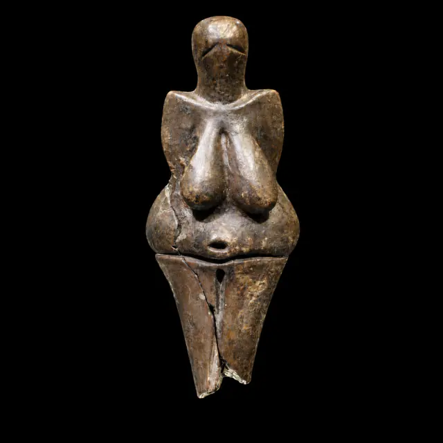
≈29,000–27,000 years
Dolní Věstonice I
Prehistory
Approximate catalogue age; editorial reference 2026 for ordering only, not calibrated dating.
Read the record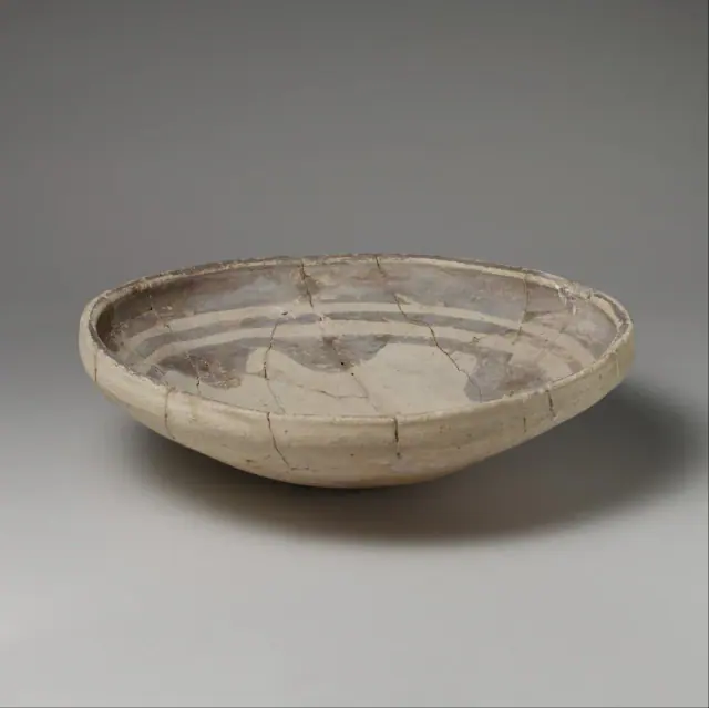
mid-6th–5th millennium BCE
Before Sumer
Sumer
The full 6th–5th millennia BCE provide broad limits for chronological ordering; the record qualifies the date as ‘mid’; the item's date is used, not the broader preceding period.
Read the record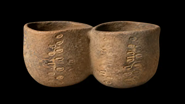
Early Neolithic · VI–V millennia BCE
Twin-chambered vessel from Cova de l’Or
Prehistory
Interval of the VI–V millennia BCE; no precise annual date.
Read the record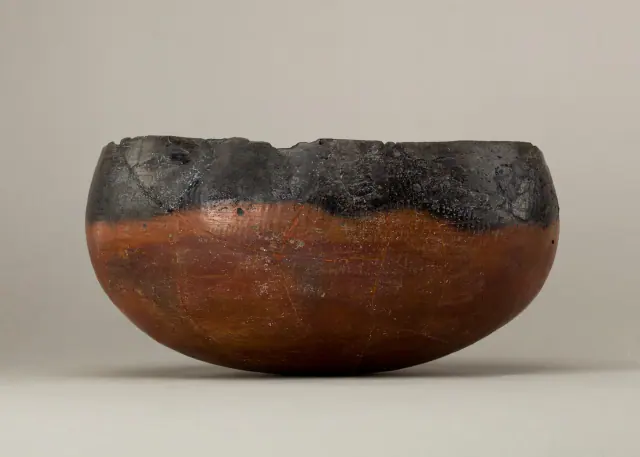
ca. 4400–3800 BCE
Before Egypt
Ancient Egypt
Date of the representative vessel, not of the entire predynastic period.
Read the record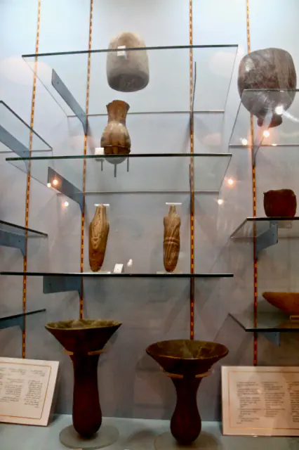
V–IV millennium BCE
Before Nubia
Nubia, Kerma and Kush
Interval of the V–IV millennia BCE of the element, not of the entire preceding period.
Read the record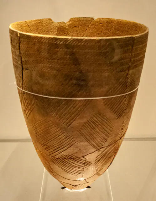
Middle Neolithic, c. 4000 BCE
Before Gojoseon
Gojoseon and early Korea
Date of the ceramic element, not of the preceding period.
Read the record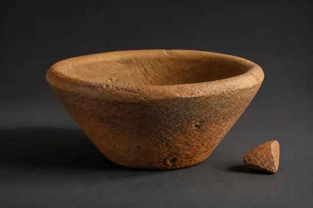
ca. 3500–3000 BCE
Bevel-rimmed bowl
Sumer
The wage ration hypothesis is not used as a functional label.
Read the record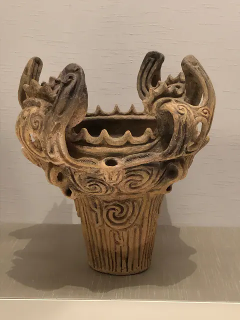
Middle Jōmon, ca. 3000 BCE
Before Yayoi
Yayoi Japan
Date of the Jōmon element, not of the entire preceding period.
Read the record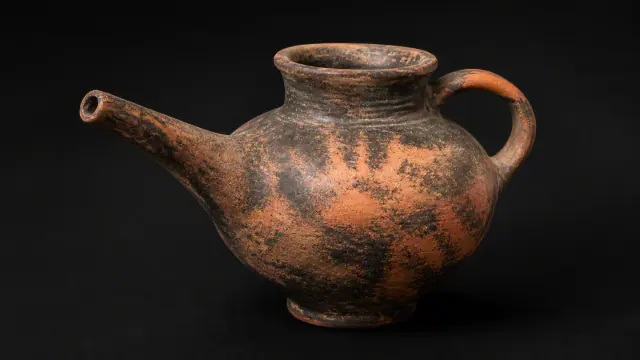
ca. 2500–2200 BCE
Vasiliki
Greek worlds
Date range for the regional pottery assemblage.
Read the record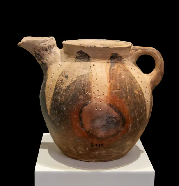
c. 2400–2200 BCE
Before the Greeks
Greek worlds
Approximate dating according to the record.
Read the record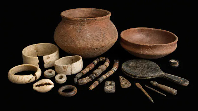
ca. 2550–2030 BCE
Cemetery R-37
Indus civilisation
Interval of the cemetery and its funerary group.
Read the record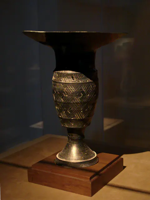
c. 2500–2000 BCE
Before Ancient China
Ancient China
Approximate dating according to the record.
Read the record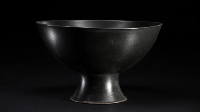
c. 2500–2000 BCE
Longshan
Ancient China
Date range for the Longshan pottery assemblage.
Read the record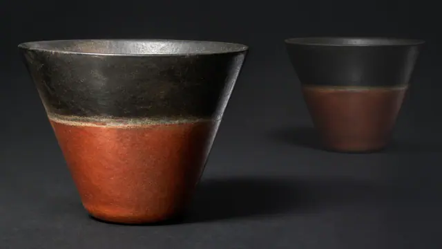
c. 1802–1640 BCE
Kerma vessel
Nubia, Kerma and Kush
Approximate dating according to the record.
Read the record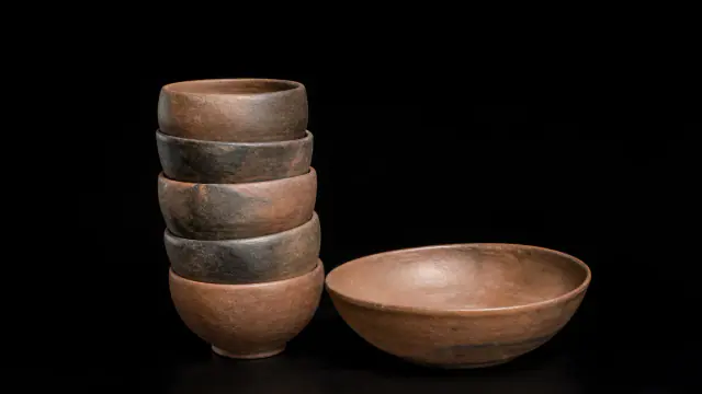
circa 1750–1550 BCE
Burial at K IV
Nubia, Kerma and Kush
Chronology of the funerary assemblage.
Read the record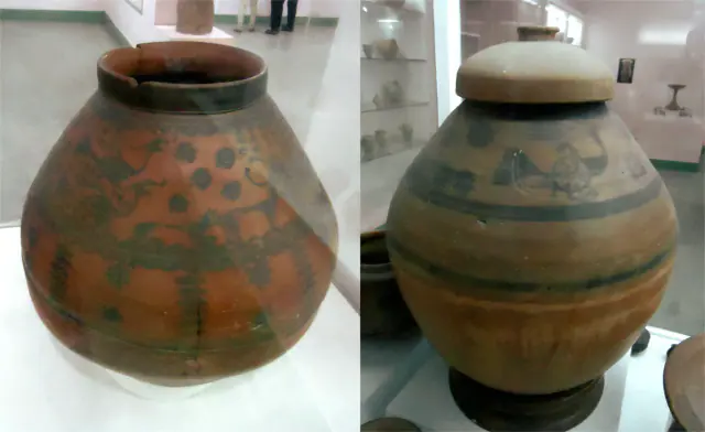
c. 1900–1300 BCE
Before Vedic India
Vedic and later Indian worlds
Approximate dating according to the record.
Read the record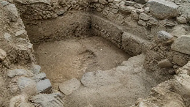
ca. 1700/1650–1200 BCE
Osmankayası and Ilıca
Hittites
The envelope of the explicit numerical alternatives is used as an orientative ordering framework: start towards 1700 or 1650 BCE and end towards 1200 BCE; framework of funerary assemblages, not a single manufacturing date.
Read the record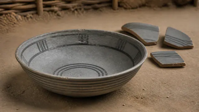
c. 1100–800 BCE in the classical sequence of Hastinapura
Grey bowl from Hastinapura
Vedic and later Indian worlds
Range of the Hastinapura pottery sequence, not the date of each vessel.
Read the record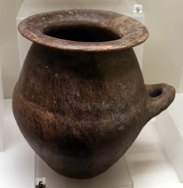
ca. 850–800 BCE
Before Etruscans and Rome
Etruscans and Rome
Approximate dating according to the record.
Read the record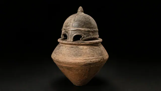
9th–8th centuries BCE
The urn under the helmet
Etruscans and Rome
Approximate dating according to the record.
Read the record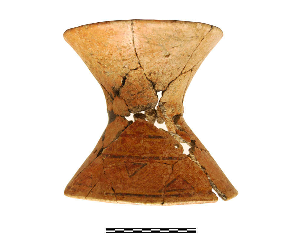
8th–7th centuries BCE · orientalizing
Ceramic stand 1010
Iberians
Chronology of the funerary context of Tomb 5, Orientalising horizon.
Read the record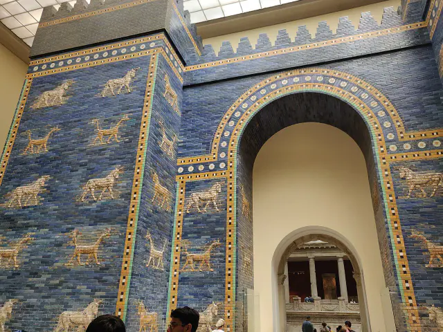
7th–6th centuries BCE · work of Nebuchadnezzar II
Ishtar Gate
Sumer
Wide interval of the piece and its phases; The museum setup is modern.
Read the record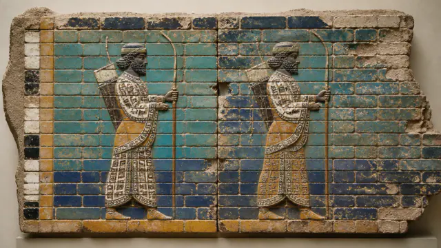
522–486 BCE
Glazed brick guards
Achaemenid Persia
Date range associated with the reign of the decoration.
Read the record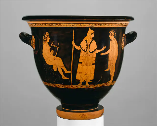
circa 440 BCE; attributed to the London Painter E 497.
Orpheus among the Thracians
Thracians
Approximate dating according to the record.
Read the record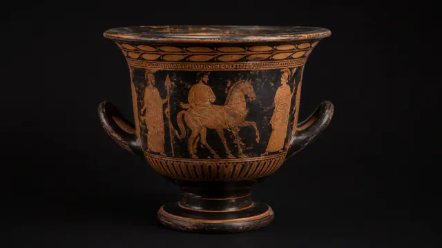
4th century BCE
The Attic krater that took on a new life in Cástulo
Greek worlds
Approximate dating according to the record.
Read the record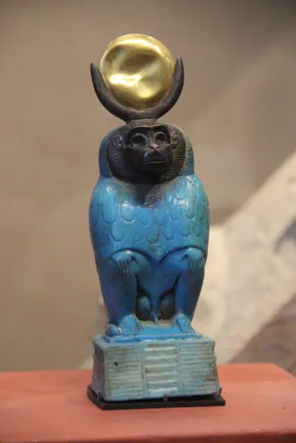
664–30 BCE
Thoth in the form of a baboon
Ancient Egypt
Approximate dating according to the record.
Read the record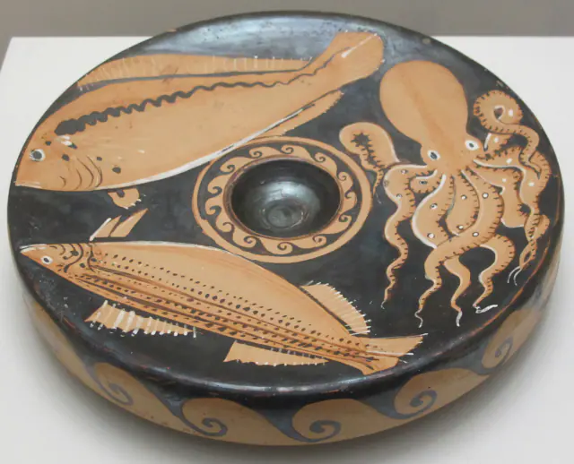
Last third 4th–early 3rd century BCE
Leipzig Fish Plate
Greek worlds
The full 4th–3rd centuries BCE provide broad limits for chronological ordering; the record specifies the last third of the 4th century and the early 3rd.
Read the record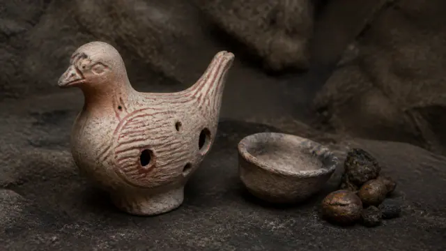
3rd century BCE
Dove of the Amarejo
Iberians
Approximate dating according to the record.
Read the record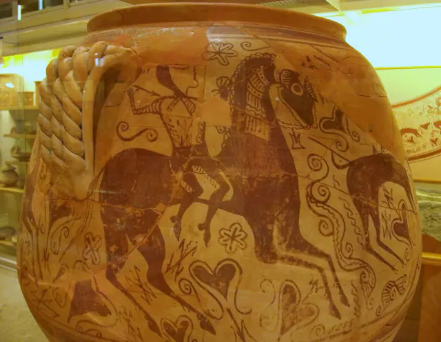
3rd–early 2nd century BCE
Vas dels Guerrers
Iberians
The full 3rd–2nd centuries BCE provide broad limits for chronological ordering; the record specifies the 3rd century and the early 2nd.
Read the record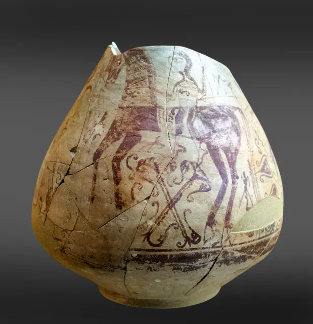
3rd–2nd centuries BCE
Warriors' Vase
Iberians
Approximate dating according to the record.
Read the record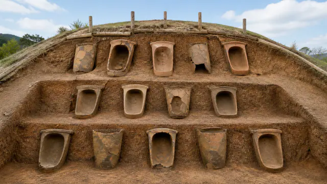
2nd–1st centuries BCE
Northern mound
Yayoi Japan
Date of the funerary assemblage.
Read the record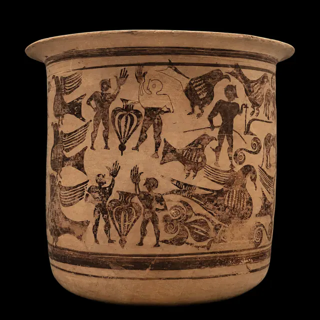
2nd–1st centuries BCE
Kalathos of Alcorisa
Iberians
Approximate dating according to the record.
Read the record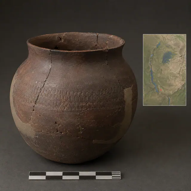
regional range c. 800 BCE–650 CE
Urewe vessel
Bantu-speaking worlds
Regional date range for the Urewe type, not an individual date for each vessel.
Read the record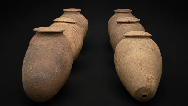
Mainly Middle Yayoi, 2nd century BCE–1st century CE
Two rows of coffins
Yayoi Japan
Framework of the cemetery and its ceramic coffins.
Read the record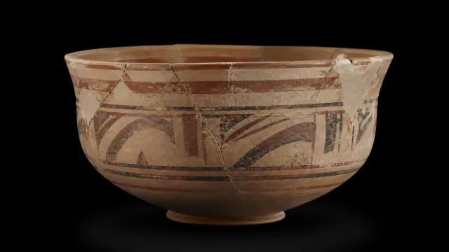
Last third of the 2nd century BCE–1st century CE
Ceramics that continued
Iberians
The full 2nd century BCE–1st century CE provide broad limits for chronological ordering; the record specifies the last third of the 2nd century BCE and the 1st century CE; this is a production date range, not the date of an individual object.
Read the record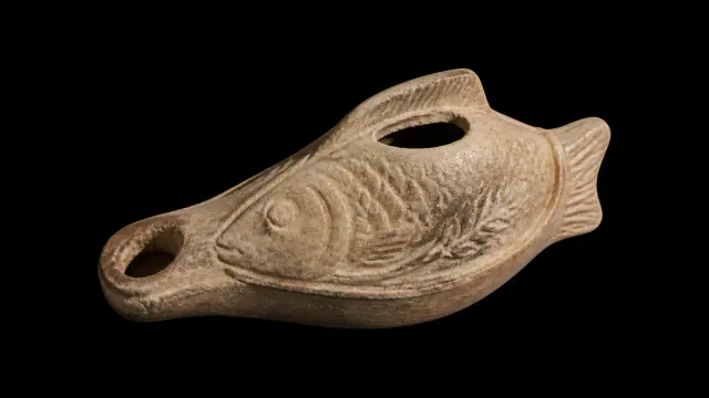
3rd–4th centuries CE
Egyptian oil lamp with a fish, held in Laon
Ancient Egypt
3rd–4th centuries CE
Read the record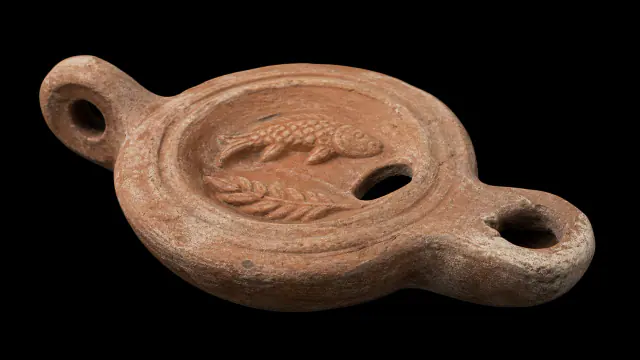
3rd–4th centuries CE
Laon lamp with fish
Etruscans and Rome
Approximate dating according to the record.
Read the record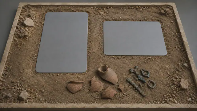
ca. 400 CE
Kabusanza, ca. 400
Batwa / Twa histories
Approximate date of the Kabusanza context; no automatic ethnic attribution.
Read the record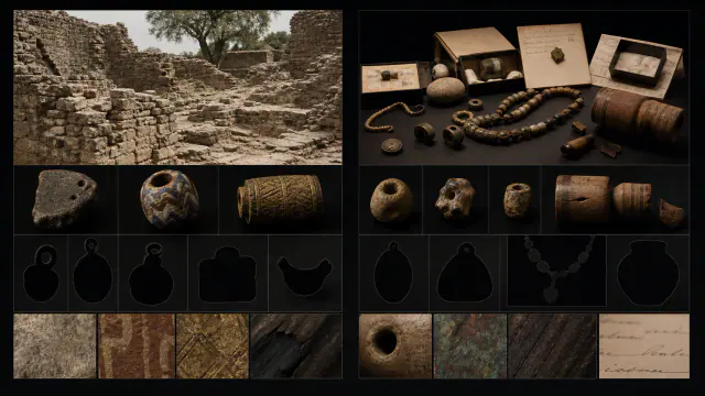
13th–15th centuries according to the heritage overview
Missing grave goods
Bantu-speaking worlds
Date range of the burial assemblage; incomplete individual inventories.
Read the record
Also connected, without a comparable date (16)
These objects are not placed after the others: an unknown date does not mean a more recent object.
- A Kerma vessel deposited at AbydosAncient Egypt · Second Intermediate Period
- A tradition that inventsBatwa / Twa histories · collected in 1993 or 1995
- A vase travels; the rite changesIberians · No individual dating published on this record
- AkrotiriGreek worlds · c. 1700–1500 BCE
- Dia’s strataMande Worlds · 9th century BCE–2nd millennium CE
- Early potteryMande Worlds · before ca. 9400 cal BCE
- Jenne-jeno contextsMande Worlds · ca. 250 BCE–1400 CE
- Liédena FlaskEtruscans and Rome · Roman period · individual chronology not published in the entry
- LothalIndus civilisation · ca. 2400–1600 BCE
- Made in GaramaGaramantes · I millennium BCE–I millennium CE
- The unfinished gestureBatwa / Twa histories · 1947
- Three hundred lives in the sandYayoi Japan · Mainly 4th century BCE–3rd century CE
- Travelling objectsGaramantes · Mainly Roman period
- Trumpet from NumantiaIberians · No individual dating published on this record
- Urns from AdichanallurVedic and later Indian worlds · Iron Age · samples towards 665 and 467 BCE
- Vessels without a languageBantu-speaking worlds · Urewe, broad regional range ca. 800 BCE–650 CE
A closer look
About 1 min to read · 1 section. Further reading and sources · free access. Editorial review recorded: .
Royal symbols shared and discussed
The OIM incense burner 24069, found in tomb L24 of Qustul and dated by ISAC to 3200–3000 BCE, has a Nubian form and technique, but incorporates ceremonial boats, a white crown, a falcon and a palatial façade. The museum presents two readings: related repertoires used by rulers of both regions, or a Nubian appropriation of prestigious Egyptian symbols. None turns the object into proof of a unique identity. Their visual combination shows that the communities of the so-called Group A participated in the elaboration and negotiation of the language of power in the Nile.
- Museum · ISAC · Qustul Incense Burner at the Nubian GalleryAccess recorded: .
Location and territory
REGIONAL AREA
Egyptian Nile, Lower Nubia and LevantNile Valley and Delta; the scope varied by dynasties. The footprint marks the indicative center of the area, not a border or an exact point.Sources and references
Did you enjoy this exhibit?
Your opinion helps us improve the museum. You can change it whenever you like.
Loading your rating…