 English
 Español
 Français
 Italiano
 Deutsch
 Русский
 Português
 Polski
 Română
 Svenska
 Norsk bokmål
 Suomi
 Türkçe
 العربية
 简体中文
 한국어
 हिन्दी
 Ελληνικά
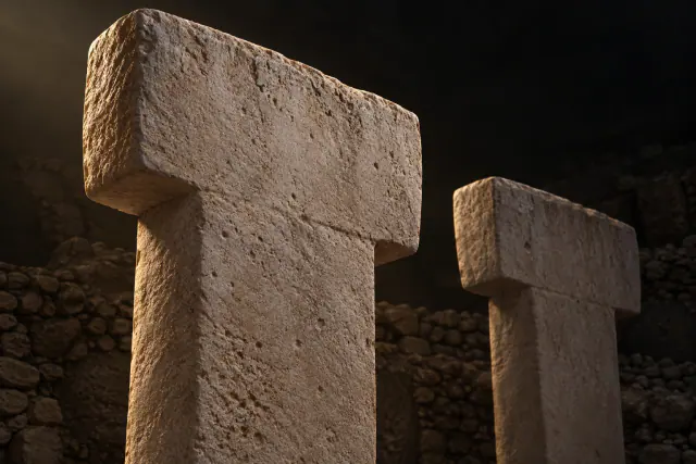
Prehistory
94 records
 TRACEKEEPERS
 · EXPLORE AT YOUR OWN PACE
Start with Prehistory, then follow different histories across the world. Read the public collections without an account and enter the 3D museums, starting free with Prehistory.
94 records
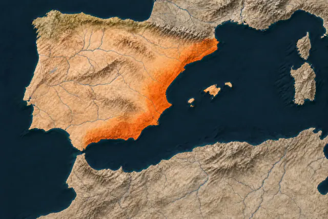
Iberian Peninsula · Mediterranean coast highlighted
76 records
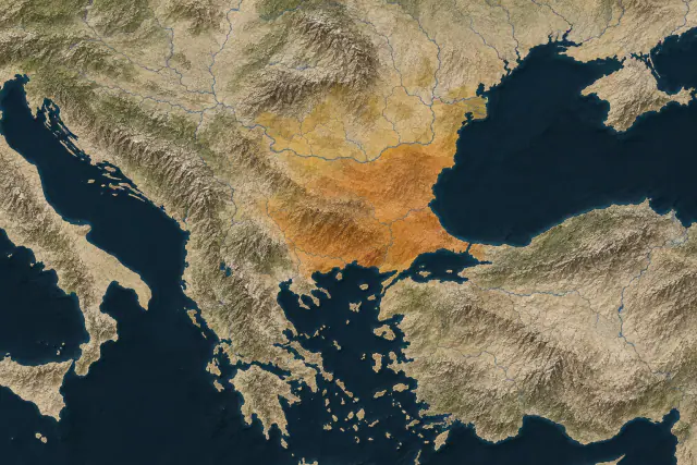
Balkans · Danube, Aegean and Black Sea
33 records
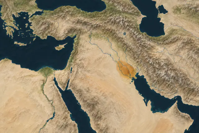
Southern Mesopotamia · Tigris and Euphrates
59 records
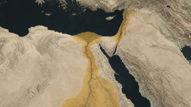
45 records
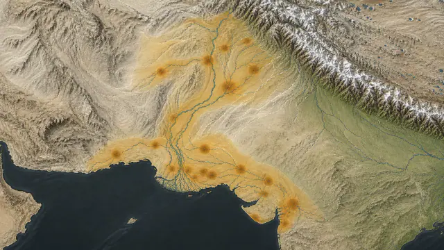
30 records
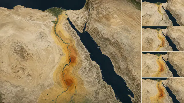
28 records
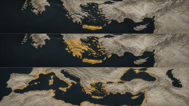
49 records
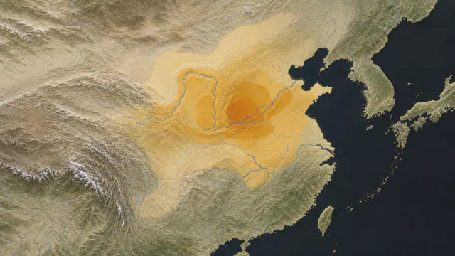
32 records
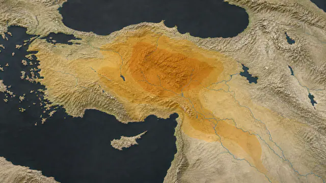
29 records
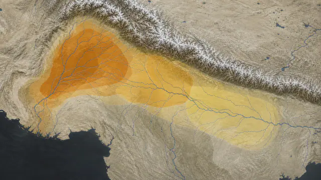
30 records
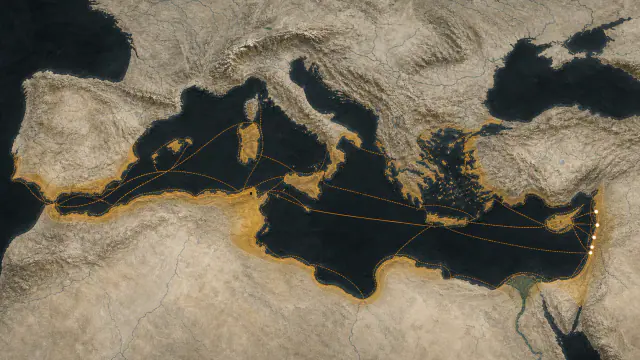
37 records
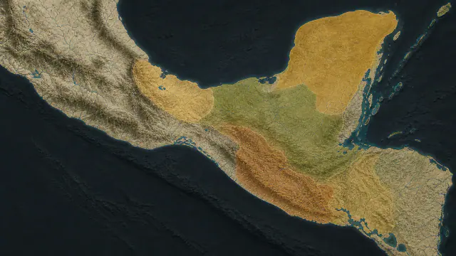
42 records
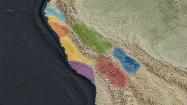
29 records
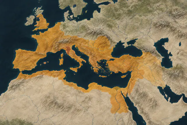
Mediterranean, Britain and the Near East · approximate greatest extent, c. AD 117
43 records
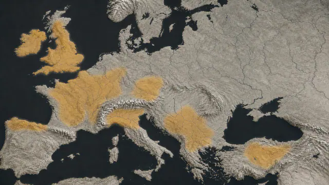
29 records
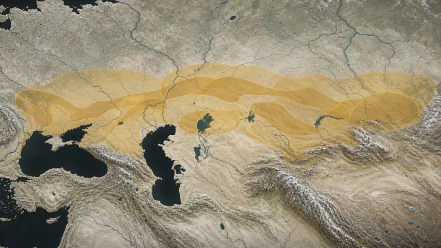
30 records
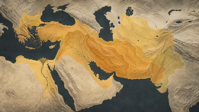
36 records
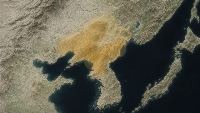
27 records
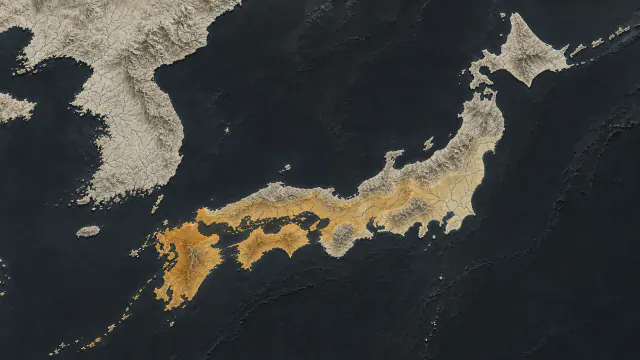
27 records
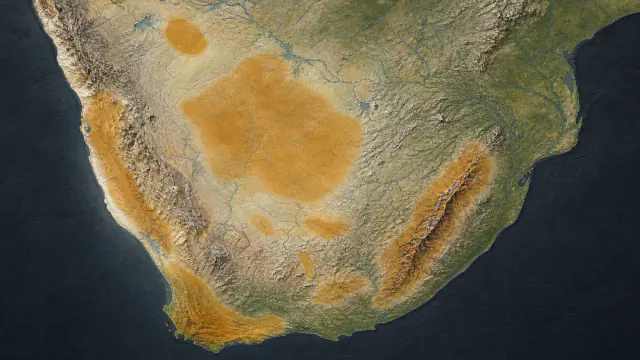
24 records
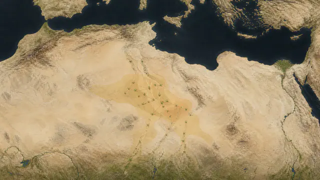
28 records
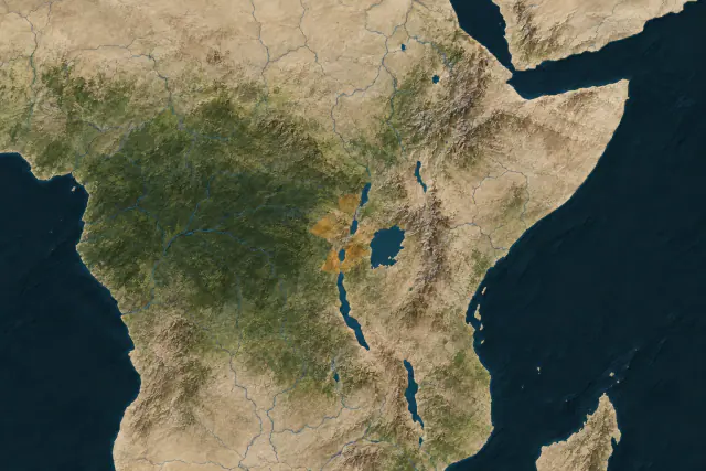
Africa’s Great Lakes
31 records
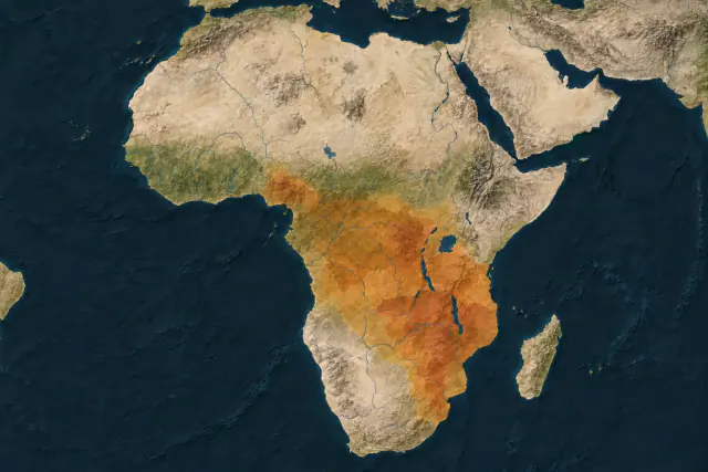
Central, eastern and southern Africa
37 records
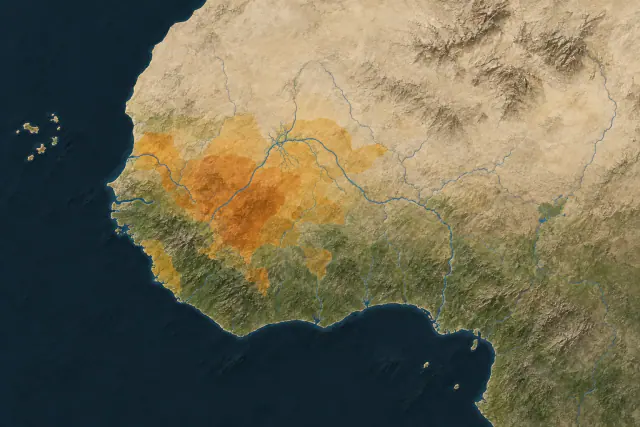
West Africa
34 records
The regional cover maps are editorial illustrations created with AI. They help locate each collection, not establish exact borders. Cultural and linguistic areas are not states or empires; Rome shows an approximate maximum around AD 117, not its territory throughout its history. The Iberian cover highlights the Mediterranean coast; soft orange elsewhere is a visual treatment, not an indication that one culture occupied the entire peninsula.
Editorial interpretation, not an archaeological photograph. Reference: Dosseman / Wikimedia Commons. Composition and lighting modified with AI. Adaptation under CC BY-SA 4.0. Sources and production record.
