 English
 Español
 Français
 Italiano
 Deutsch
 Русский
 Português
 Polski
 Română
 Svenska
 Norsk bokmål
 Suomi
 Türkçe
 العربية
 简体中文
 한국어
 हिन्दी
 Ελληνικά
01 · INITIAL ATLAS · NODES AND ROUTES
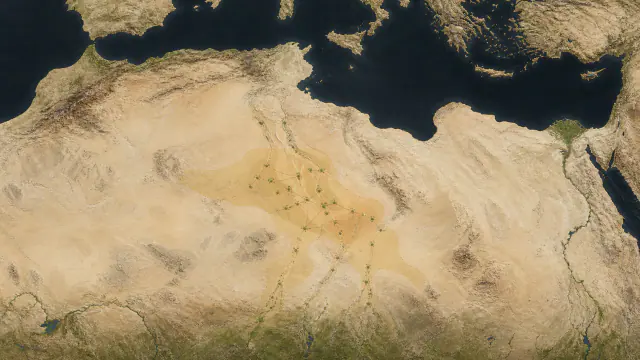
Map of the Garamantes
Follow the oases, the water tunnels and the routes that connected the Garamantes with other regions of the Sahara.
Read the complete record → TRACEKEEPERS
HISTORY · OPEN COLLECTION
Settlements, oasis cultivation, local production and later underground water channels help explain the emergence of Garamantian society. Its history belongs to a changing Saharan landscape and its wider connections.
28 complete records · free to read, no account needed
Read freely here. A free account saves your visits inside the museum.
Before you begin · Garamantes
The Garamantian cities arose from a long Saharan history of adaptation to climate, mobility and water knowledge.
Saharan Prehistory
Rock art and successive occupations show changes in fauna, human activities and environmental conditions over millennia.
1st millennium BCE
Settlements such as Zinchecra form part of the regional development of agricultural communities prior to the urban rise of Garama.
Garamantian Antiquity
Oasis agriculture, foggaras and exchange networks sustain settlements in an arid environment.
The Sahara did not always look like the desert we know. In Tadrart Acacus, in the south-west of present-day Libya, paintings and archaeological sites record changes in animals, landscapes and ways of life over millennia. Hunting and herding scenes belong to successive communities, in many cases predating the Garamantes of classical sources.
Increasing aridity changed the possibilities for living in the Fezzan. In the 1st millennium BCE, settlements such as Zinchecra reveal the importance that cultivated places and settled life had acquired. Pastoral camps and farming villages reveal different strategies within the same region. The oasis required environmental expertise and sustained work, as well as access to water.
With the development of Garama and other settlements, Garamantian societies expanded agriculture and exchange. Foggaras, galleries that carried groundwater towards the fields, supported part of that expansion. Cities, cemeteries and routes allow the study of a Saharan power with its own history, connected to Mediterranean and African regions across the desert.
The museum connects the landscape with water engineering, exchange objects and the Garamantian ways of inhabiting and remembering.
Interpreting these traces. Not all pastoral paintings of the Sahara are Garamantian; climate change provides context, but does not by itself explain the birth of their societies.
≈1000 BCE–700 CE · AFRICA
Access to the museum brings together the atlas and the background of the Garamantes. Then, seven areas organise the historical context, culture, architecture, personalities and society, treasures and grave goods, beliefs and curiosities, and two historical doors to other museums. Each file preserves narrative layers, cautions and differentiated sources.
The room combines a specific visual catalog with an audited thematic dossier. Separates facts, interpretations and cautions; the 3D volumes continue to be replaceable markers until models with provenance and license are incorporated.
The concentration of settlements, oasis agriculture, local production and, later, foggaras allows recognition of a historical Garamantian formation.
The initial chronology, the origin of hydraulic technology and political frontiers remain open; a rock art image does not equate to an ethnic document.
Read the background and its sources →EXPLORE THE COLLECTION
Follow the museum’s curated order or go straight to a section. Every record includes its full public documentation and sources.
01 · COLLECTION
Consult the maps and initial context sheets to situate this museum in time and territory; then choose the areas that interest you most.
01 · INITIAL ATLAS · NODES AND ROUTES
Follow the oases, the water tunnels and the routes that connected the Garamantes with other regions of the Sahara.
Read the complete record →02 · BEFORE GARAMA · CLIMATE, PASTORALISM AND LANDSCAPE
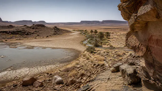
The paintings and sites show how climate, hunting and pastoralism changed before the great mud-brick cities.
Read the complete record →02 · COLLECTION
The first stop reconstructs the area before the Garamantes; afterwards, places and processes allow entry into their history without reducing it to a starting date or an inevitable destiny.
01 · 01 · PREVIOUS CONTEXT · CLIMATE AND ROCK ART
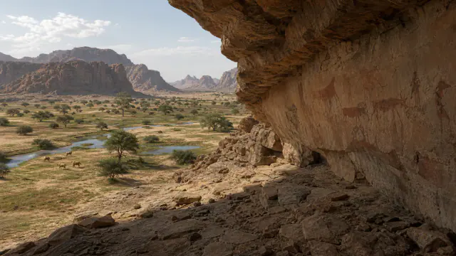
Pastoral and dance scenes belong to long sequences; not all are Garamantian.
Read the complete record →02 · 02 · SETTLEMENT · FROM ≈9TH CENTURY BCE
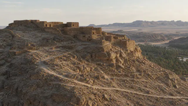
Houses and shelters preceded the more stable mudbrick architecture.
Read the complete record →03 · 04 · ADOBE URBANISM · ≈400–300 BCE
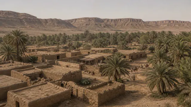
Excavations allow the city’s growth to be compared with what Roman authors reported.
Read the complete record →04 · 05 · FOGGARAS · ≈400 BCE–700 CE
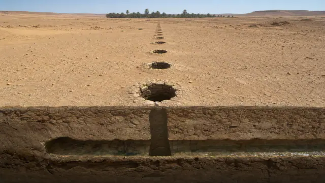
A line of wells allowed the tunnel that carried water to the oasis to be dug and maintained.
Read the complete record →05 · 06 · INTENSIVE AGRICULTURE · MAINTENANCE
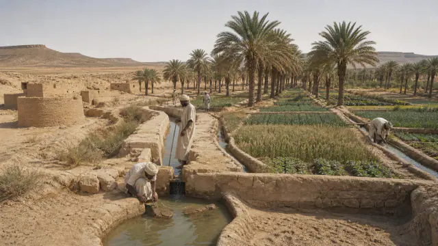
The water emerging from the tunnels had to be distributed by channels and irrigation turns.
Read the complete record →06 · 08 · WORKSHOPS · STRATIGRAPHIC CONTEXT
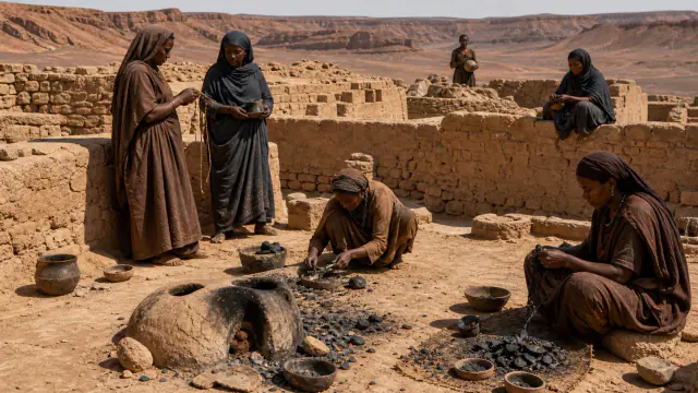
Hearths, moulds and metal remains show domestic and craft activities that changed over time.
Read the complete record →07 · 09 · CAIRNS · CHOUCHETS · MAUSOLEUMS
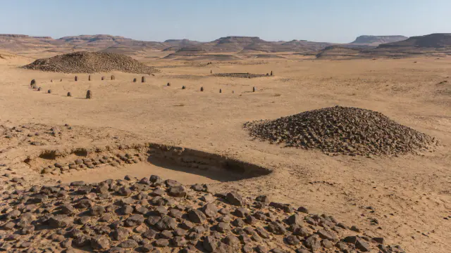
The forms of graves and their grave goods allow the study of social differences, although they do not by themselves reveal individual beliefs.
Read the complete record →03 · COLLECTION
These stops distinguish instruments, ritual actions, orality or writing and visual culture. Where there is no theatre, score or certain meaning, the museum preserves the limit.
01 · LIVING AND DOCUMENTED CULTURE · 01
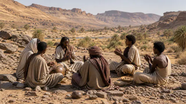
Testimonies of instruments, hand-clapping and voices are scarce and do not allow the reconstruction of a music common to all Garamantes.
Read the complete record →02 · LIVING AND DOCUMENTED CULTURE · 02
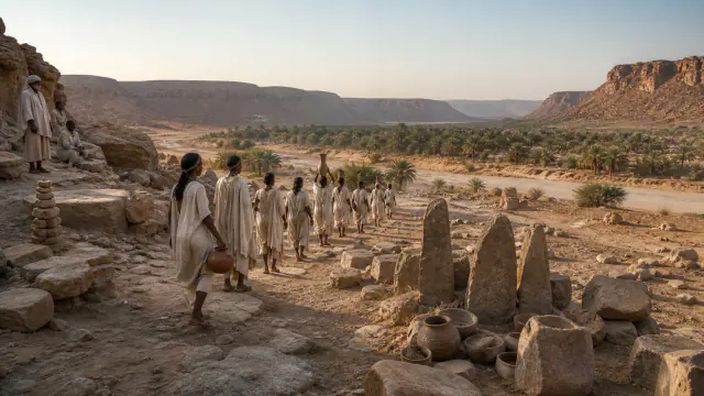
Tombs, offerings and images allow the proposal of communal ceremonies.
Read the complete record →03 · LIVING AND DOCUMENTED CULTURE · 03
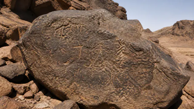
Inscriptions are preserved, but many do not have a secure reading, date or attribution.
Read the complete record →04 · LIVING AND DOCUMENTED CULTURE · 04
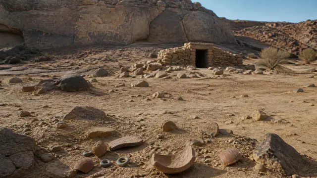
Paintings, pottery and tombs allow the study of changes in climate, displacements and contacts.
Read the complete record →04 · COLLECTION
These architectures explain how materials, water, work and memory organized the territory without converting an elevation reconstruction into certainty.
01 · ARCHITECTURE AND LANDSCAPE · 01
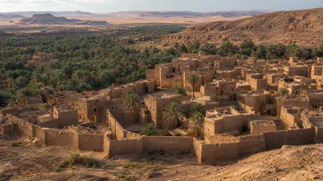
Streets, houses, buildings and cemeteries formed a Saharan urban centre.
Read the complete record →02 · ARCHITECTURE AND LANDSCAPE · 02
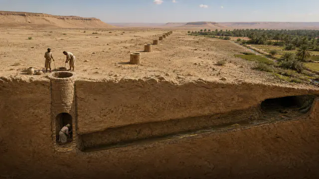
A 2022 review mapped over 2,000 kilometres of water tunnels and some 100 square kilometres of ancient fields.
Read the complete record →03 · ARCHITECTURE AND LANDSCAPE · 03
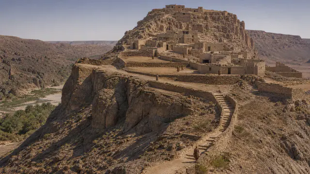
Zinkekra's elevated position helps understand where its inhabitants settled and how they could defend themselves.
Read the complete record →05 · COLLECTION
Known people, reconstructed voices and collective footprints. From oldest to most recent according to life, reign or scene. The periods may overlap; The voices without a determinable date close the journey.
01 · RECONSTRUCTED PERSON · DECLARED FICTITIOUS NAME
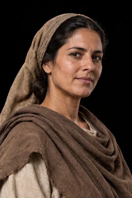
Open first the channel feeding more fields or the one sustaining those who cannot wait another day?
Read the complete record →02 · RECONSTRUCTED PERSON · DECLARED FICTITIOUS NAME
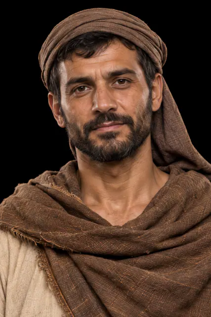
How far do you extend a gallery when every metre brings water closer and multiplies the risk of collapse?
Read the complete record →06 · COLLECTION
Concrete pieces to understand materials, decisions and knowledge systems, with separate evidence and interpretation.
01 · 03 · ARCHAEOBOTANY · ≈900–400 BCE
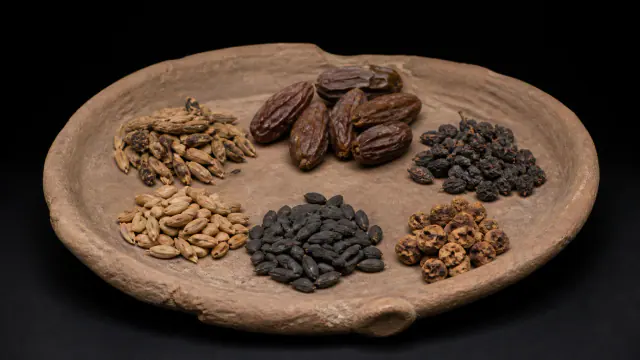
Plant remains show that cereals and fruit trees were already cultivated in the earliest oases.
Read the complete record →02 · 07 · LOCAL PRODUCTION · COUNTERWEIGHT TO IMPORTS
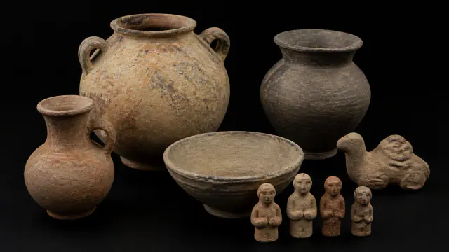
A connected society also manufactured its own objects.
Read the complete record →03 · 10 · EPIGRAPHY · OPEN READING AND ATTRIBUTION
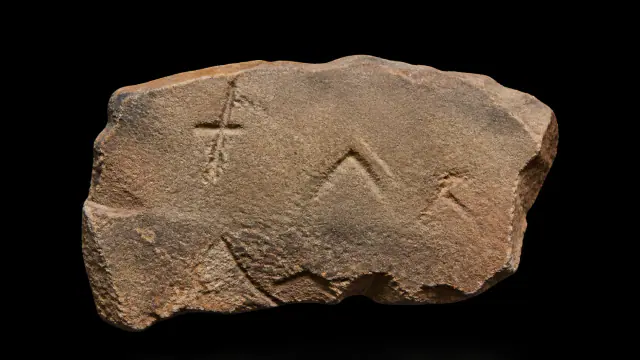
Many inscriptions remain without a secure reading; their resemblance to other scripts does not resolve who made them or when.
Read the complete record →04 · 11 · IMPORTATION · MEDITERRANEAN CONTACT
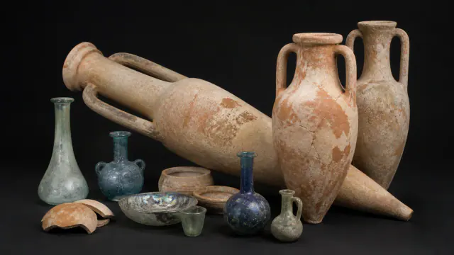
Glass and amphorae show exchanges with the Mediterranean, not necessarily Roman government over the oases.
Read the complete record →05 · 12 · EXTERNAL SOURCES · ARCHIVE BIAS
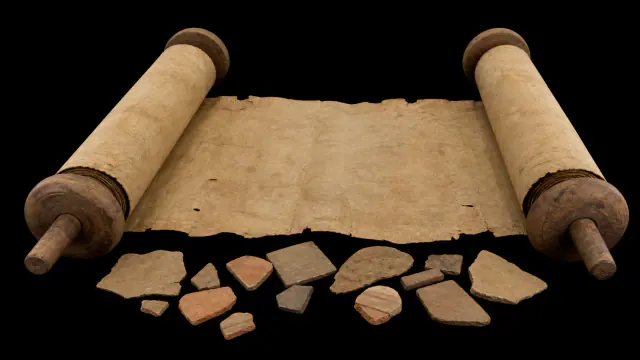
Their accounts offer an external perspective that we can cross-reference with the excavated fields, houses and tombs.
Read the complete record →07 · COLLECTION
These cards separate what is documented from what is interpreted and recover practices, questions and details capable of changing our image of this culture.
01 · BELIEFS AND CURIOSITIES · 01
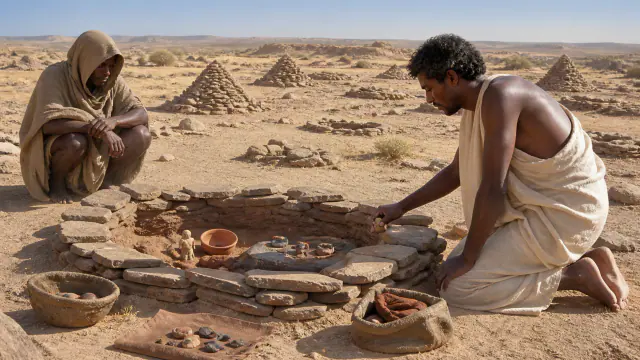
The tombs, the figures and some inscriptions offer indications of religious practices, but not a complete list of their gods.
Read the complete record →02 · BELIEFS AND CURIOSITIES · 02
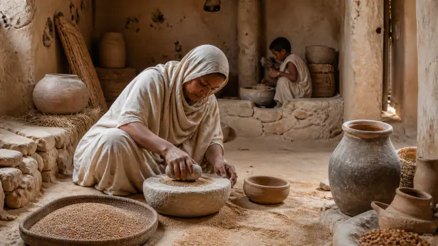
Seeds, hearths and pottery allow knowledge of the food and tasks of houses and fields.
Read the complete record →03 · BELIEFS AND CURIOSITIES · 03
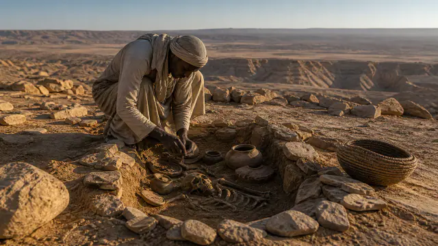
Some cities, canals and cemeteries were abandoned and others reused after Garamantian power.
Read the complete record →08 · COLLECTION
Each door explains why the link exists, when it occurred, and what limits prevent contact from being converted into shared identity.
01 · DOOR 01 · ASIA · EXCHANGE
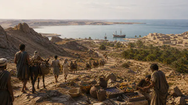
Continues in the Phenicia museum
Read the complete record →02 · DOOR 02 · EUROPE · CONTACT
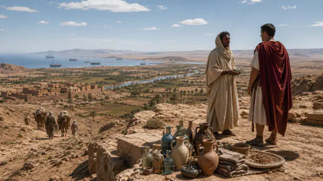
Continues in the Etruscans and Rome museum
Read the complete record →El agua bajo la arena
Discover the connected fiction project. The available Prehistory reader is in Spanish; other volumes are not presented as finished products for sale.
Explore the books →Try the available Prehistory browser alpha. Campaigns for the other cultures are still in development.
Open the game (Spanish) →Use each record’s institution and heritage links to continue your research. Country-by-country historical travel guides are planned, not yet published.
Historical travel →Discover artistic designs inspired by the collections and check each product’s availability. Museum access remains free.
Explore the collection →