
 English
 Español
 Français
 Italiano
 Deutsch
 Русский
 Português
 Polski
 Română
 Svenska
 Norsk bokmål
 Suomi
 Türkçe
 العربية
 简体中文
 한국어
 हिन्दी
 Ελληνικά
10 · ŚULBASŪTRA · GEOMETRY
The altar cord
Transforming a square without changing its area
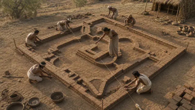
Cords and stakes made it possible to lay out altars and transform geometric shapes while preserving their area.
Museum documentation · free public access, no account required.
Generated reconstruction · Declared visual hypothesis
Declared visual reconstruction for museographic context; it is not a photograph of the original nor documentary evidence.
History and context
The Śulbasūtras describe how to lay out altars, orient lines and transform figures while conserving areas. Taut ropes and stakes allowed the construction of squares, diagonals and complex forms with bricks of controlled measure.
The texts include notable approximations and geometric relationships. Calling them a modern theorem discovered by a single person distorts their form: they are operational rules transmitted in ritual schools and dated broadly.
The rules of the Śulbasūtras allow laying out angles, diagonals and area transformations for brick altars. Rope and stakes gave precision to forms that had to satisfy simultaneously geometric and ritual requirements.
Speaking of the 'Pythagorean theorem' may orient the visitor, but a race to decide who arrived first impoverishes distinct contexts. Nor should all Śulbasūtras be mixed without date as the work of a single author.
Evidence and interpretation
Documented fact: manuals such as those attributed to Baudhāyana and Āpastamba contain geometric procedures for altars. Interpretation and caution: their exact dates, priority over other traditions and direct relation to specific archaeological altars are not settled.
Catalogue facts
- Narrative date
- Approximate composition and transmission c. 800–500 BCE, with revisions
- Location
- North India; diverse school traditions
- Material
- Rope · stakes · clay bricks · oral text later written down
- Context
- Practical geometry for ritual construction
- Curatorial reading
- The documented fact and its interpretation appear separately in the evidence block.
- Date
- Approximate composition and transmission c. 800–500 BCE, with revisions
- Location
- North India; diverse school traditions
- Support
- Rope · stakes · clay bricks · oral text later written down
- Documentary coverage
- 2 museum, heritage, primary corpus or research sources for this stop.
A SHARED TOPIC, DIFFERENT MOMENTS
Objects connected through time
Follow a topic across the collections. A shared tag is a way to compare objects, not proof that one culture influenced another.
The order uses the midpoint of each approximate date range; ranges can overlap. Spacing does not represent elapsed time. Swipe, scroll or use the arrows. With the sequence focused, use ← / →, Home or End.
THE CURRENT OBJECT
Its date is not sufficiently established to place it on the timeline. We keep it here, separate from the dated objects.
 You are viewing
Approximate composition and transmission c. 800–500 BCE, with revisions
The altar cord
Vedic and later Indian worlds
Date of composition and textual transmission, not of a conserved rope or altar.
Current recordMeasuring and weighing4 dated objects
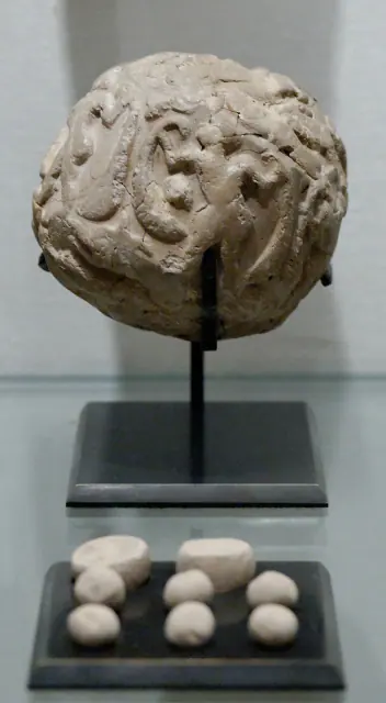
3500–2900 BCE · proto-urban period; towards 3300 BCE as a guide, not exact date
Susa accounting bulla
Sumer
Posted range; "towards 3300" is just orientation within that range.
Read the record
III millennium BCE · usually towards 2650 BCE; approximate
Nippur Cubit
Sumer
Explicit indicative date in the 3rd millennium BCE
Read the record
ca. 2600–1900 BCE
Weights
Indus civilisation
Date range for the system of weights, not a year-specific date for each example.
Read the record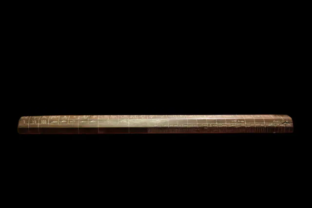
1330–1295 BCE · end of the 18th dynasty
Maya's cubit
Ancient Egypt
Approximate dating according to the record.
Read the record
A closer look
About 1 min to read · 1 section. Further reading and sources · free access. Editorial review recorded: .
A diagonal calculated by means of fractions
The rules attributed to Āpastamba and Kātyāyana include an approximation of the square root of two expressed by sums and a fractional correction: 1 + 1/3 + 1/12 − 1/408. The result, 577/408, approximates closely the ratio of diagonal to side of a square. The St Andrews synthesis underscores that the text preserves the rule, but not the explanation of how it was obtained. Its accuracy can be verified today; the reconstruction of the original reasoning remains a different historical question from the calculation.
Location and territory
REGIONAL AREA
North India; diverse school traditionsFrom Punjab and the north-west towards the Ganges plain, with regional rhythms. The footprint indicates the indicative centre of the sphere, not a border or an exact point.Sources and references
Did you enjoy this exhibit?
Your opinion helps us improve the museum. You can change it whenever you like.
Loading your rating…