
 English
 Español
 Français
 Italiano
 Deutsch
 Русский
 Português
 Polski
 Română
 Svenska
 Norsk bokmål
 Suomi
 Türkçe
 العربية
 简体中文
 한국어
 हिन्दी
 Ελληνικά
07 · OBJECT · MEASUREMENT
Weights
The stone that made exchanges comparable
The weights followed repeated measures that allowed quantities to be compared in exchanges.
Museum documentation · free public access, no account required.
Generated reconstruction · Declared visual hypothesis
Declared visual reconstruction for museographic context; it is not a photograph of the original nor documentary evidence.
History and context
Carefully worked stone weights appear in numerous Harappan settlements and respond to repeated series. Measuring allowed distinct goods to be made comparable and agreements to be repeated at a distance.
Do not turn them into a modern bank. Their precision is evidence of shared practices; how they were verified or who controlled them depends on contexts that rarely survive.
Stone cubes followed repeated series and could be combined to reach larger quantities. Comparability reduced disputes when distinct goods changed hands.
A weight only functions within a shared practice: balance, counterweight, training and social acceptance complete the object.
Evidence and interpretation
Documented fact: Indus archaeology recognises standardised series of weights, many cubic, during the mature urban phase; their antecedents appear already in earlier phases. Interpretation and caution: That a single authority imposed the entire Indus metrology is a possibility, not a necessary conclusion. Expanded documentation: Cubic flint weights appear in excavations at Harappa and form part of the mature shared repertoire. Expanded interpretation and caution: Their ancient names are unknown, and it is not known that a single authority controlled the entire metrology.
Catalogue facts
- Narrative date
- ca. 2600–1900 BCE
- Location
- Indus Valley and Gujarat
- Material
- Carved stone
- Context
- Measurement and exchange
- Curatorial reading
- The documented fact and its interpretation appear separately in the evidence block.
- Frequent form
- Carefully finished stone cubes
- Principle
- Series of repeatable values
- Documentary coverage
- 3 museum, heritage, primary corpus or research sources for this stop.
A SHARED TOPIC, DIFFERENT MOMENTS
Objects connected through time
Follow a topic across the collections. A shared tag is a way to compare objects, not proof that one culture influenced another.
The order uses the midpoint of each approximate date range; ranges can overlap. Spacing does not represent elapsed time. Swipe, scroll or use the arrows. With the sequence focused, use ← / →, Home or End.
Stone19 dated objects
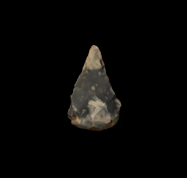
≈425,000–375,000 years
Swanscombe handaxe
Prehistory
Approximate catalogue age for the Hoxnian interglacial (MIS 11); editorial reference 2026 for ordering only, not calibrated dating.
Read the record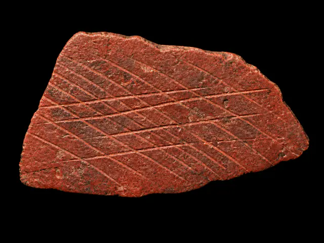
≈77,000–75,000 years
Engraved ochre from Blombos
Prehistory
Approximate catalogue age; editorial reference 2026 for ordering only, not calibrated dating.
Read the record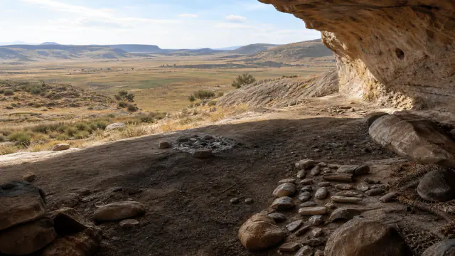
≈25.500–23.500 BCE
Before the San
San histories
Date of the representative element, not ethnic attribution of its authors.
Read the record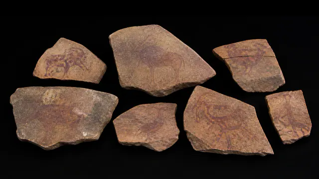
≈25.500–23.500 BCE
Before the name San
San histories
Dating of the context of the slabs; anonymous authors.
Read the record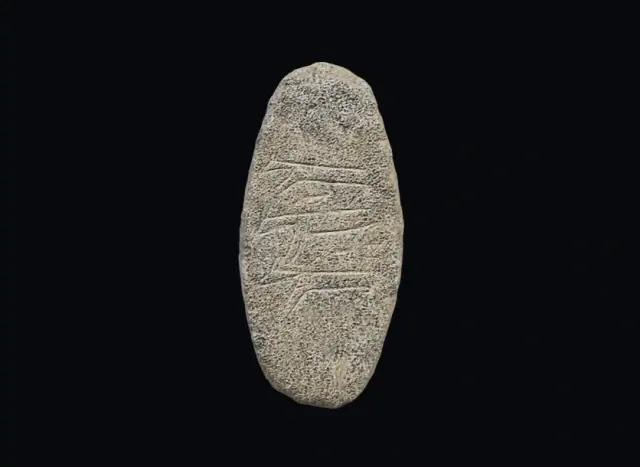
PPNA · site proposal: ≈9600–8800 BCE, provisional
Engraved stone from Çakmaktepe
Prehistory
Provisional date range for the site; not direct dating of this stone.
Read the record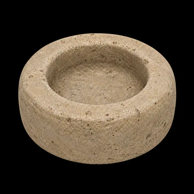
PPNA · ≈9600–8800 BCE, provisional proposal for the site
Grinding stone from Çakmaktepe
Prehistory
Provisional date range for the site and the published tools; the identification of the image is unverified.
Read the record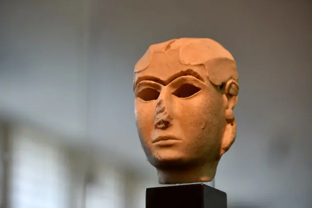
End of the 4th millennium BCE
Warka Mask
Sumer
The full 4th millennium BCE provides broad limits for chronological ordering; the record specifies the end of the millennium.
Read the record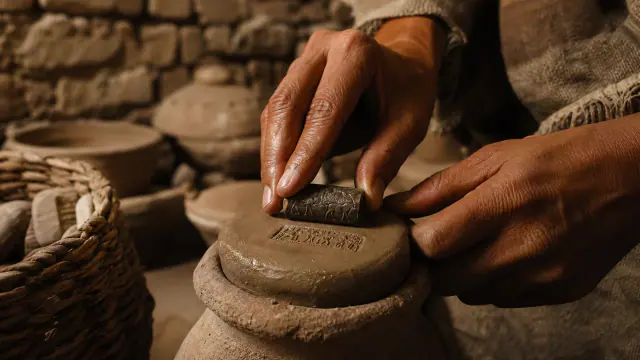
c. 3500–3100 BCE
Cylinder seal
Sumer
Approximate dating according to the record.
Read the record
ca. 3300–3000 BCE
Uruk Vase
Sumer
Approximate dating according to the record.
Read the record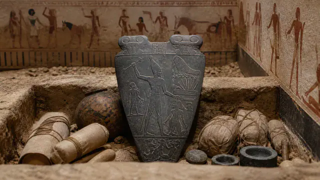
ca. 3100 BCE
Narmer Palette
Ancient Egypt
Approximate dating according to the record.
Read the record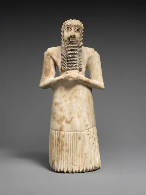
Towards 2900–2600 BCE
Overlapping datesWorshiper of Tell Asmar
Sumer
Approximate dating according to the record.
Read the record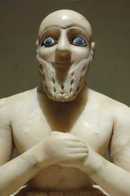
Towards 2400 BCE
Overlapping datesStatue of Ebih-Il
Sumer
Approximate dating according to the record.
Read the record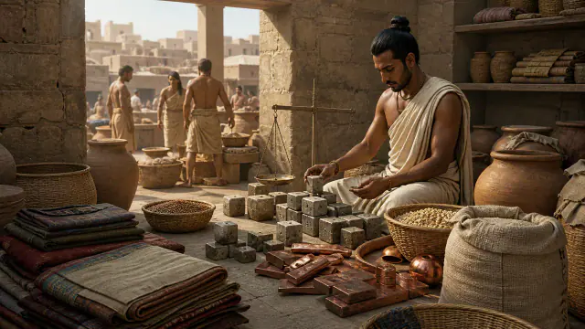 You are viewing
ca. 2600–1900 BCE
Weights
Indus civilisation
Date range for the system of weights, not a year-specific date for each example.
Current record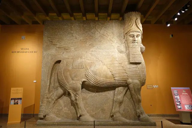
Reign of Sargon II · 721–705 BCE
Lamassu of Khorsabad
Sumer
Reign interval associated with the piece.
Read the record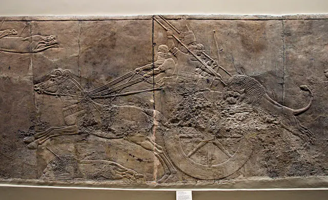
645–635 BCE
Ashurbanipal Hunt
Sumer
Approximate dating according to the record.
Read the record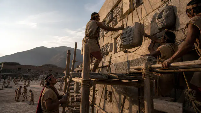
c. 800–300 BCE
Heads on the wall
Pre-Inca cultures
Framework of the set of architectural heads.
Read the record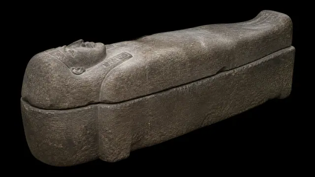
first quarter of the 5th century BCE
Sarcophagus of Eshmunazar
Phoenicians
First quarter of the 5th century BCE
Read the record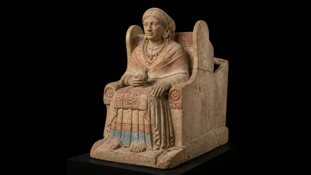
First half of the 4th century BCE
The statue was the urn
Iberians
First half of the 4th century BCE; date of the funerary context.
Read the record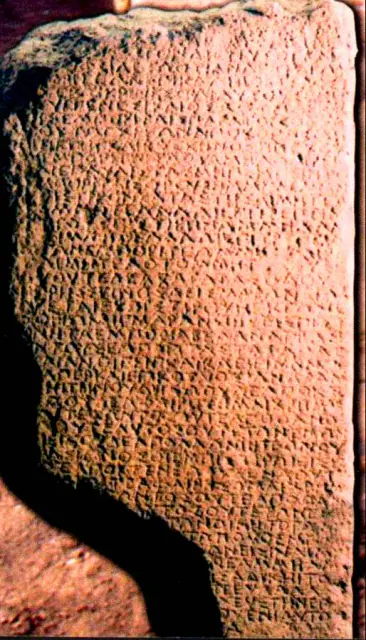
4th century BCE
The inscription of Pistiros
Thracians
Approximate dating according to the record.
Read the record
Also connected, without a comparable date (10)
These objects are not placed after the others: an unknown date does not mean a more recent object.
- A White Wall on the DanubeCeltic worlds · 6th century BCE
- CemeteryIndus civilisation · ca. 2600–1900 BCE
- Engraved stonePrehistory · Before ≈39,000 cal BP
- Four gardens and waterAchaemenid Persia · 6th century BCE
- Kumbi SalehMande Worlds · medieval occupation; prominent phases between the 11th and 13th centuries
- Soma stonesVedic and later Indian worlds · Rigvedic strata; later ritual tradition
- The quarry remained visibleGojoseon and early Korea · Mainly 6th–5th centuries BCE
- The Thracian HorsemanThracians · Roman era · diffusion especially in the 2nd–3rd centuries CE
- Tichitt wallsMande Worlds · II–I millennia BCE
- Writing with gapsGaramantes · Diverse chronologies
A closer look
About 1 min to read · 1 section. Further reading and sources · free access. Editorial review recorded: .
The series is recognised by comparing many stones
The study published in Purātattva analyses the masses grouped by classes and observes that the intervals change between the smaller and the larger weights. The former respond to binary or octal relationships, while the latter show a decimal component. Standardisation is reconstructed statistically, with variations within each class that may include wear. This procedure allows passage from an isolated cubic stone to a system of equivalences. No need to read an inscription on each weight to recognise repeated regularities in the assemblage.
- Research · Purātattva 37 · Harappan WeightsAccess recorded: .
Location and territory
REGIONAL AREA
Indus Valley and GujaratPunjab, Sindh, Balochistan and Gujarat within an urban network. The footprint marks the indicative center of the area, not a border or an exact point.Sources and references
Did you enjoy this exhibit?
Your opinion helps us improve the museum. You can change it whenever you like.
Loading your rating…