
 English
 Español
 Français
 Italiano
 Deutsch
 Русский
 Português
 Polski
 Română
 Svenska
 Norsk bokmål
 Suomi
 Türkçe
 العربية
 简体中文
 한국어
 हिन्दी
 Ελληνικά
SIPPAR · PALEOBABYLONIAN PERIOD · SURVEYING
Si.427 tablet
The geometry that separated two fields
Before it was a classroom exercise, a right angle could help set a property boundary.
Museum documentation · free public access, no account required.
Documentary original · Exact correspondence
Documentary photograph of the original or the exact site.
Osama Shukir Muhammed Amin FRCP(Glasg) / Wikimedia Commons · Istanbul Arkeoloji Müzeleri · Inventory: Ist Si 0427 · CC BY-SA 4.0
History and context
A plot changes hands; Drawing a line is not enough if the parties cannot recognize it on the ground. Si.427 combines a plan, measurements, and cuneiform writing to record the division and sale of a field. It is a Old Babylonian tablet from Sippar, not a Sumerian piece from the 3rd millennium. It is included here as a Mesopotamian continuation of the history of measuring and managing. Vincent Scheil excavated it in 1894; its modern study was not a new archaeological discovery.
Daniel Mansfield interprets its dimensions through relations between sides and diagonals equivalent to 5–12–13 and 8–15–17, useful for constructing right angles. Sexagesimal numbering allows us to approach this calculation without our modern notations. His proposal relates this surveying to Plimpton's numerical lists 322, but recognizes that the link is not definitive. What is amazing is the precision of a solution for an everyday need; Calling it 'trigonometry' requires explaining that interpretation, not simply attributing sines, cosines or the later Greek system to it.
Evidence and interpretation
CDLI identifies Ist Si 0427 / P128359, clay, Akkadian, Sippar and excavation of 1894; Mark the assignment to period 1900–1600 as uncertain BCE. Mansfield studies perpendiculars in 2020 and develops his interpretation of Plimpton 322 in 2021. An old cadastral document is not a modern alphanumeric 'cadastral reference'.
Catalogue facts
- Date
- Towards 1900–1600 BCE · paleobabylonian; uncertain chronological attribution in CDLI
- Location
- Sippar-Yahrurum · Tell Abu Habbah, present-day Iraq
- Inventory
- Ist Si 0427 · CDLI P128359
- Support and language
- Clay tablet · Akkadian in cuneiform script
- Find context
- Vincent Scheil excavation · 1894
- Calculation
- Base 60; interpretation using relations 5–12–13 and 8–15–17
- Plimpton 322
- Another tablet: its reading as a surveying tool is a research proposal, not a conclusively demonstrated function.
A SHARED TOPIC, DIFFERENT MOMENTS
Objects connected through time
Follow a topic across the collections. A shared tag is a way to compare objects, not proof that one culture influenced another.
The order uses the midpoint of each approximate date range; ranges can overlap. Spacing does not represent elapsed time. Swipe, scroll or use the arrows. With the sequence focused, use ← / →, Home or End.
Clay32 dated objects
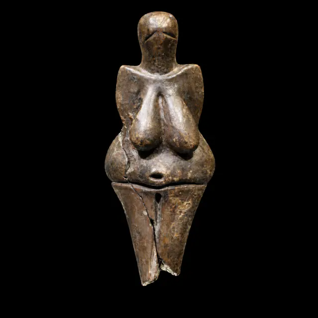
≈29,000–27,000 years
Dolní Věstonice I
Prehistory
Approximate catalogue age; editorial reference 2026 for ordering only, not calibrated dating.
Read the record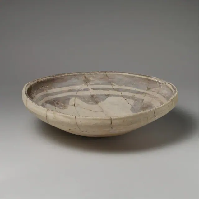
mid-6th–5th millennium BCE
Before Sumer
Sumer
The full 6th–5th millennia BCE provide broad limits for chronological ordering; the record qualifies the date as ‘mid’; the item's date is used, not the broader preceding period.
Read the record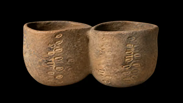
Early Neolithic · VI–V millennia BCE
Twin-chambered vessel from Cova de l’Or
Prehistory
Interval of the VI–V millennia BCE; no precise annual date.
Read the record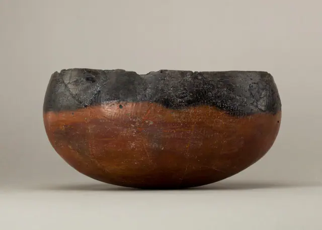
ca. 4400–3800 BCE
Before Egypt
Ancient Egypt
Date of the representative vessel, not of the entire predynastic period.
Read the record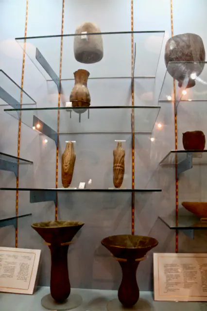
V–IV millennium BCE
Before Nubia
Nubia, Kerma and Kush
Interval of the V–IV millennia BCE of the element, not of the entire preceding period.
Read the record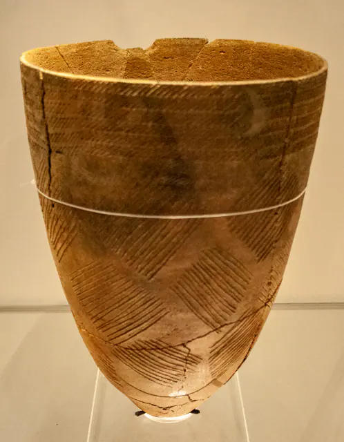
Middle Neolithic, c. 4000 BCE
Before Gojoseon
Gojoseon and early Korea
Date of the ceramic element, not of the preceding period.
Read the record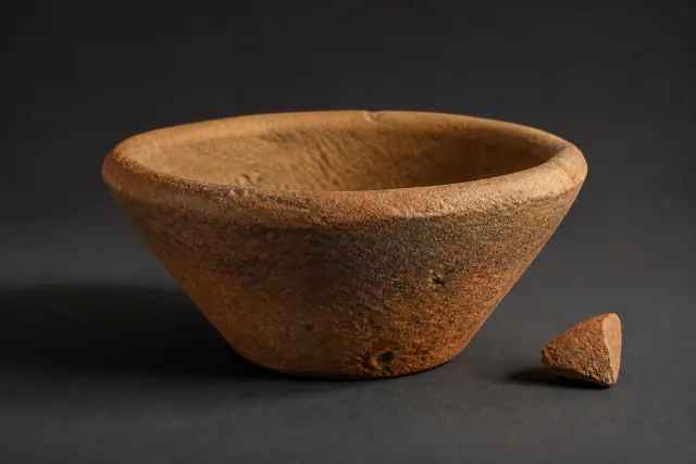
ca. 3500–3000 BCE
Bevel-rimmed bowl
Sumer
The wage ration hypothesis is not used as a functional label.
Read the record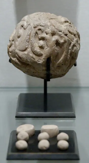
3500–2900 BCE · proto-urban period; towards 3300 BCE as a guide, not exact date
Susa accounting bulla
Sumer
Posted range; "towards 3300" is just orientation within that range.
Read the record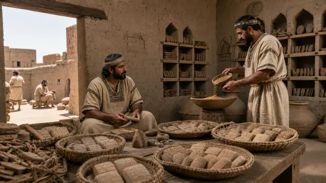
c. 3100–2900 BCE
Jemdet Nasr
Sumer
Approximate dating according to the record.
Read the record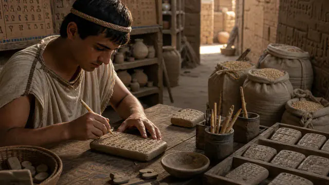
c. 3100–2900 BCE
Account of malt and barley
Sumer
Approximate dating according to the record.
Read the record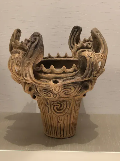
Middle Jōmon, ca. 3000 BCE
Before Yayoi
Yayoi Japan
Date of the Jōmon element, not of the entire preceding period.
Read the record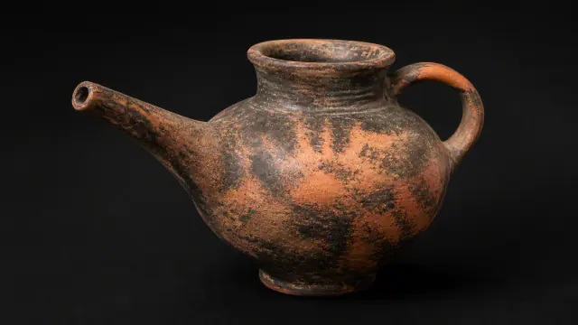
ca. 2500–2200 BCE
Vasiliki
Greek worlds
Date range for the regional pottery assemblage.
Read the record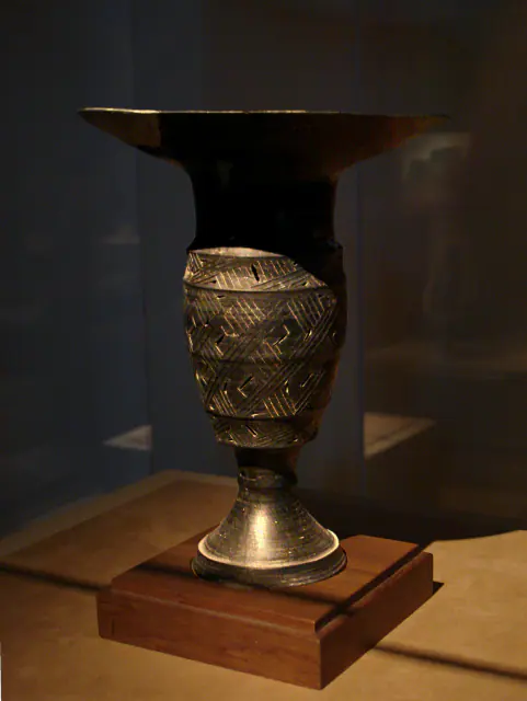
c. 2500–2000 BCE
Before Ancient China
Ancient China
Approximate dating according to the record.
Read the record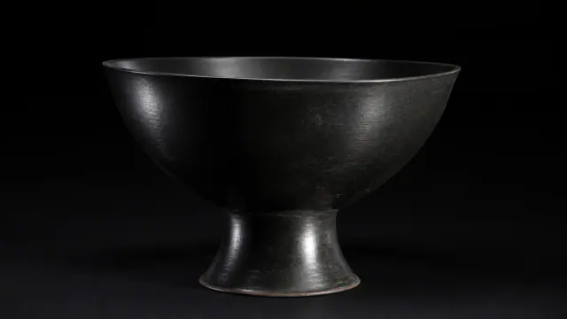
c. 2500–2000 BCE
Longshan
Ancient China
Date range for the Longshan pottery assemblage.
Read the record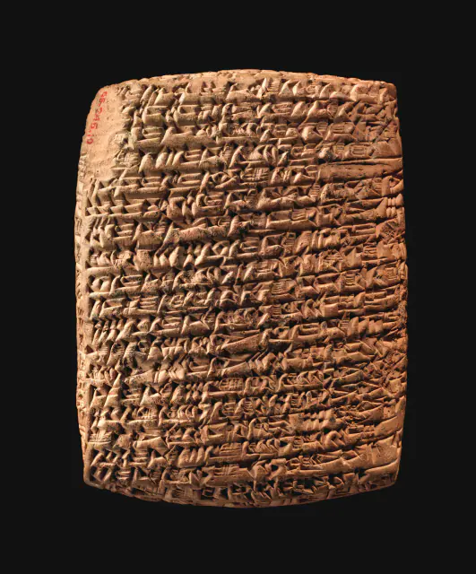
c. 19th century BCE
Overlapping datesBefore the Hittites
Hittites
Date of the representative document, not of the entire preceding period.
Read the record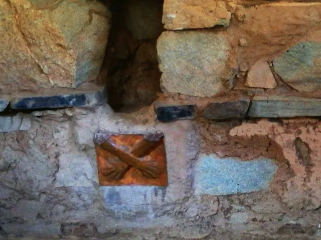
Kotosh-Mito Tradition, c. 2200–1500 BCE; the enclosure is usually situated around 1800 BCE.
Overlapping datesBefore Pre-Inca Cultures
Pre-Inca cultures
Element tradition interval; "around 1800" orients the enclosure.
Read the record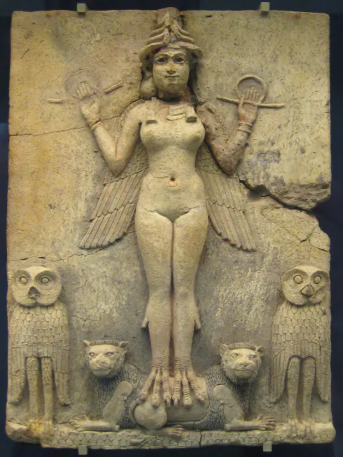
19th–18th centuries BCE
Overlapping datesQueen of the Night
Sumer
Approximate dating according to the record.
Read the record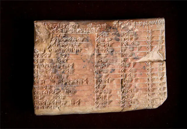
Paleo-Babylonian period · around 1800 BCE
Overlapping datesPlimpton 322
Sumer
Approximate dating according to the record.
Read the record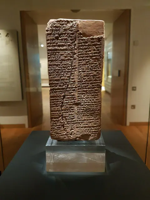
Towards 1800 BCE
Overlapping datesSumerian King List
Sumer
Date of preserved copy, not of reigns listed.
Read the record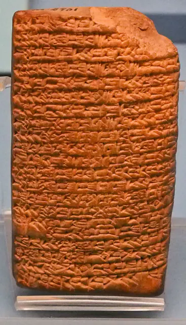
Paleo-Babylonian copy, around 1900–1600 BCE according to CDLI
Overlapping datesLove song to Shu-Sin
Sumer
Date of the preserved Paleo-Babylonian copy, not of the origin of the song.
Read the record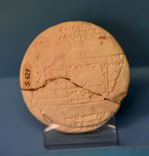 You are viewing
Towards 1900–1600 BCE · paleobabylonian; uncertain chronological attribution in CDLI
Si.427 tablet
Sumer
Unclear chronological attribution in CDLI.
Current record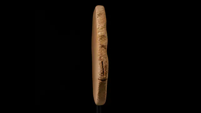
≈1700–1650 BCE
Overlapping datesPhaistos Disc
Greek worlds
The signs have no accepted reading.
Read the record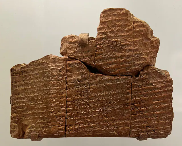
Towards 1650 BCE
Overlapping datesSumerian Flood of Nippur
Sumer
Approximate dating according to the record.
Read the record
Above all 17th–13th centuries BCE
Overlapping datesBoğazköy Archive
Hittites
Main date range for the archive, not a single date for all the tablets.
Read the record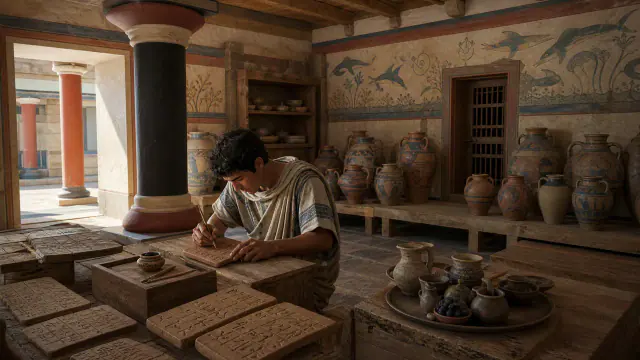
c. 1375 BCE
Linear B
Greek worlds
Approximate dating according to the record.
Read the record
c. 1300 BCE
Alaksandu of Wilusa
Hittites
Approximate dating according to the record.
Read the record
c. 1259 BCE, year 21 of Ramesses II
Treaty with Egypt
Hittites
Date of the treaty and its copy; not of the origin of relations between the two kingdoms.
Read the record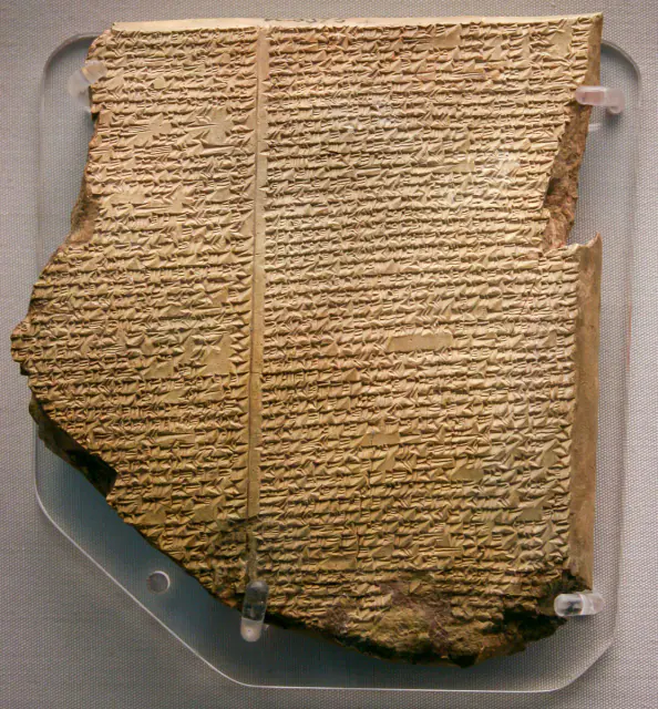
7th century BCE
Flood Tablet
Sumer
Approximate dating according to the record.
Read the record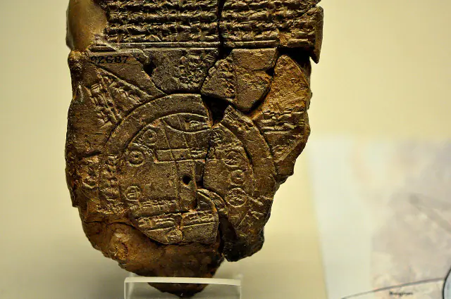
Towards 700–500 BCE
Babylonian map of the world
Sumer
Approximate dating according to the record.
Read the record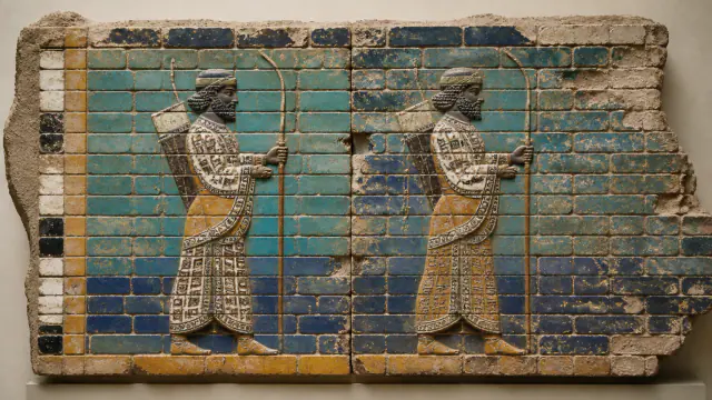
522–486 BCE
Glazed brick guards
Achaemenid Persia
Date range associated with the reign of the decoration.
Read the record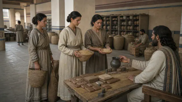
Towards 509–493 BCE
Rations for women and children
Achaemenid Persia
Date range of the archive and its documents.
Read the record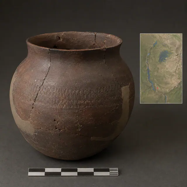
regional range c. 800 BCE–650 CE
Urewe vessel
Bantu-speaking worlds
Regional date range for the Urewe type, not an individual date for each vessel.
Read the record
Also connected, without a comparable date (8)
These objects are not placed after the others: an unknown date does not mean a more recent object.
- A White Wall on the DanubeCeltic worlds · 6th century BCE
- Blue that does not yieldMaya worlds · Documented use from the Classic, c. 300–1500 CE
- Cyrus speaks as king of BabylonAchaemenid Persia · After the conquest of Babylon in 539 BCE
- Early potteryMande Worlds · before ca. 9400 cal BCE
- Made in GaramaGaramantes · I millennium BCE–I millennium CE
- Piece-mold castingAncient China · c. 1600–1046 BCE
- The unfinished gestureBatwa / Twa histories · 1947
- Vessels without a languageBantu-speaking worlds · Urewe, broad regional range ca. 800 BCE–650 CE
A closer look
About 1 min to read · 1 section. Further reading and sources · free access. Editorial review recorded: .
The investigation began in an old record
Mansfield arrived at Si.427 by following excavation references to a collection described by the former name of the Imperial Museum of Constantinople. A photograph received in 2018 allowed her to be located and the examination in Istanbul was carried out in 2019. This trajectory distinguishes the physical survival of a piece from its scientific recognition. The document had been preserved for decades; What was new was asking a mathematical question and examining his layouts with it. The archives and collections were as decisive as the original archaeological find.
- Research · UNSW · Daniel Mansfield and the study of Si.427Access recorded: .
Location and territory
APPROXIMATE LOCATION
Sippar · Tell Abu Habbah, IraqDeposit identified by CDLI for Si.427; does not represent the exact boundaries of the drawn plot.Where it is held
İstanbul Arkeoloji Müzeleri collection of the Ancient East
Item or group in the record · Documented collection
Istanbul · inventory Ist Si 0427, contrasted in CDLI P128359.
The holding institution is documented; public display may change. Check its official record before visiting.
Sources and references
Did you enjoy this exhibit?
Your opinion helps us improve the museum. You can change it whenever you like.
Loading your rating…