
 English
 Español
 Français
 Italiano
 Deutsch
 Русский
 Português
 Polski
 Română
 Svenska
 Norsk bokmål
 Suomi
 Türkçe
 العربية
 简体中文
 한국어
 हिन्दी
 Ελληνικά
21 · TREASURE · after 1375 and before November 1380
Catalan Atlas
Catalan Atlas, sheet depicting the ruler of Mali
A European atlas depicts the ruler of Mali with gold, showing how his wealth was imagined from the Mediterranean.
Museum documentation · free public access, no account required.
Generated reconstruction · Declared visual hypothesis
Declared visual reconstruction for museographic context; it is not a photograph of the original nor documentary evidence.
History and context
The atlas depicts a black ruler identified by an inscription as Musa/Musse Melly and associated with gold.
It shows how reports from the Sahel were recast within the Mediterranean political and commercial imagination. Limitation: it is not a portrait drawn from life, a topographic map or reliable evidence of Malian court dress.
Evidence and interpretation
EXT. The atlas depicts a black ruler identified by an inscription as Musa/Musse Melly and associated with gold. What this does not establish: it is not a portrait drawn from life, a topographic map or reliable evidence of Malian court dress.
Catalogue facts
- Narrative date
- after 1375 and before November 1380
- Location
- Mallorca, Crown of Aragon
- Material
- externally produced cartographic manuscript
- Context
- BnF, Paris; manuscript Espagnol 30. Custody: Bibliothèque nationale de France, Département des Manuscrits.
- Curatorial reading
- The documented fact and its interpretation appear separately in the evidence block.
- Dossier axis
- writing-knowledge
- Research record
- MANDE · EVI-07
- Documentary coverage
- 1 museum source, heritage, primary corpus or research for this stop.
A SHARED TOPIC, DIFFERENT MOMENTS
Objects connected through time
Follow a topic across the collections. A shared tag is a way to compare objects, not proof that one culture influenced another.
The order uses the midpoint of each approximate date range; ranges can overlap. Spacing does not represent elapsed time. Swipe, scroll or use the arrows. With the sequence focused, use ← / →, Home or End.
Maps4 dated objects
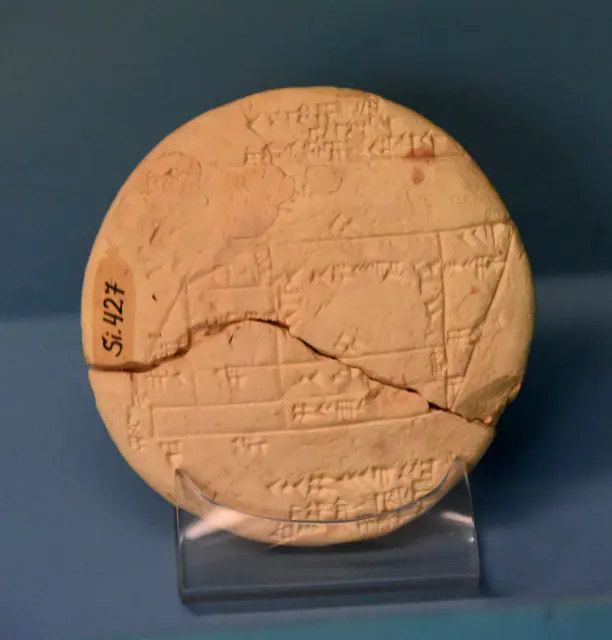
Towards 1900–1600 BCE · paleobabylonian; uncertain chronological attribution in CDLI
Si.427 tablet
Sumer
Unclear chronological attribution in CDLI.
Read the record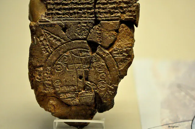
Towards 700–500 BCE
Babylonian map of the world
Sumer
Approximate dating according to the record.
Read the record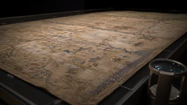 You are viewing
after 1375 and before November 1380
Catalan Atlas
Mande Worlds
Documented chronological limits: after 1375 and before November 1380; the exact year of production is not known.
Current record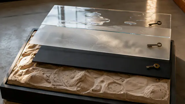
2012–2013
A map with the right to be closed
Batwa / Twa histories
Date of the process and participatory cartographic document, not of the territory's occupation.
Read the record
A closer look
About 1 min to read · 1 section. Further reading and sources · free access. Editorial review recorded: .
An atlas that was also a folding object
The Catalan Atlas was formed by six parchment sheets glued by halves onto linked boards: opened, it reached approximately 64 centimetres in height and three metres in length. Its first two parts present cosmographical and astrological knowledge; the following combine geographical representation, texts and images. The figure of Musa therefore belongs to an artefact that ordered news within a general explanation of the world. Conservation also conditions how we see it: deteriorations in the folds led to separating the boards, modifying the original experience of unfolding it.
Where it is held
Bibliothèque nationale de France · Département des Manuscrits
Item or group in the record · Library or archive
The BnF holds the Catalan Atlas as manuscript Espagnol 30; the virtual record uses a facsimile and identifies the European visual convention underlying the image of Mali.
The holding institution is documented; public display may change. Check its official record before visiting.
Sources and references
Did you enjoy this exhibit?
Your opinion helps us improve the museum. You can change it whenever you like.
Loading your rating…