
 English
 Español
 Français
 Italiano
 Deutsch
 Русский
 Português
 Polski
 Română
 Svenska
 Norsk bokmål
 Suomi
 Türkçe
 العربية
 简体中文
 한국어
 हिन्दी
 Ελληνικά
10 · TREATY · WESTERN ANATOLIA
Alaksandu of Wilusa
A small tablet connects Hattusa with the Troy region
The treaty with Alaksandu of Wilusa fixed obligations of protection and loyalty towards the Hittite king.
Museum documentation · free public access, no account required.
Generated reconstruction · Declared visual hypothesis
Declared visual reconstruction for museographic context; it is not a photograph of the original nor documentary evidence.
History and context
A fragment preserves part of the treaty between Muwatalli II and Alaksandu, ruler of Wilusa. The document integrates a western power into a network of obligations, protection, succession and loyalty.
Many scholars relate Wilusa to Ilion/Troy and Alaksandu to the name Alexandros. The linguistic and geographical convergence is strong, but the tablet does not demonstrate that its ruler was the Paris of Greek epic.
The treaty fragment names Muwatalli II, Alaksandu and Wiluša within obligations of loyalty, protection and succession. It shows how Hatti incorporated a western ruler by oath rather than direct administration.
The Wiluša–Ilion relationship has strong linguistic and geographical support, but the document does not mention Paris nor certify a Homeric war. The convergence must be explained without turning later epic into chronicle.
Evidence and interpretation
Documented fact: the fragment names Muwatalli II, Alaksandu and Wilusa and belongs to the Boğazköy archive. Interpretation and caution: the Wilusa–Ilion equivalence is widely accepted but does not convert the treaty into direct proof of the Homeric war.
Catalogue facts
- Narrative date
- c. 1300 BCE
- Location
- Hattusa; Wilusa in northwest Anatolia
- Material
- Cuneiform clay
- Context
- Vassalage and regional alliance treaty
- Curatorial reading
- The documented fact and its interpretation appear separately in the evidence block.
- Date
- c. 1300 BCE
- Location
- Hattusa; Wilusa in northwest Anatolia
- Support
- Cuneiform clay
- Documentary coverage
- 3 museum, heritage, primary corpus or research sources for this stop.
A SHARED TOPIC, DIFFERENT MOMENTS
Objects connected through time
Follow a topic across the collections. A shared tag is a way to compare objects, not proof that one culture influenced another.
The order uses the midpoint of each approximate date range; ranges can overlap. Spacing does not represent elapsed time. Swipe, scroll or use the arrows. With the sequence focused, use ← / →, Home or End.
Clay32 dated objects
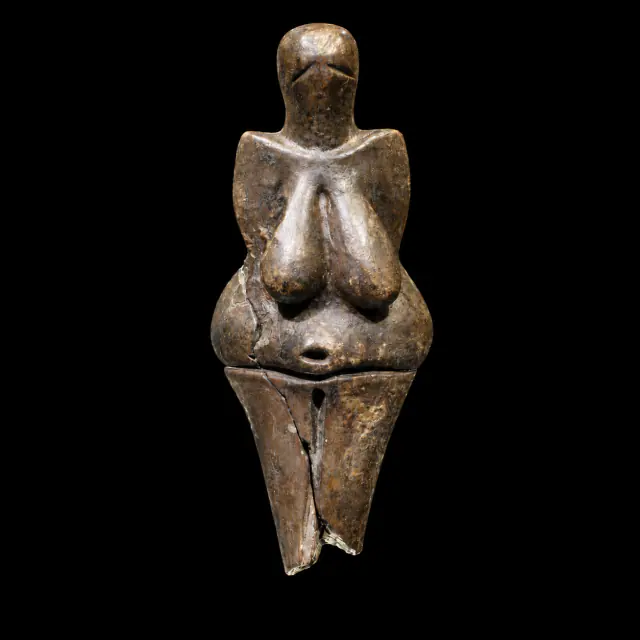
≈29,000–27,000 years
Dolní Věstonice I
Prehistory
Approximate catalogue age; editorial reference 2026 for ordering only, not calibrated dating.
Read the record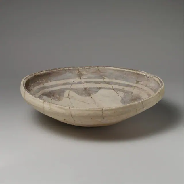
mid-6th–5th millennium BCE
Before Sumer
Sumer
The full 6th–5th millennia BCE provide broad limits for chronological ordering; the record qualifies the date as ‘mid’; the item's date is used, not the broader preceding period.
Read the record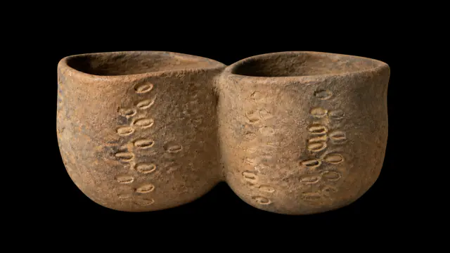
Early Neolithic · VI–V millennia BCE
Twin-chambered vessel from Cova de l’Or
Prehistory
Interval of the VI–V millennia BCE; no precise annual date.
Read the record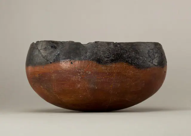
ca. 4400–3800 BCE
Before Egypt
Ancient Egypt
Date of the representative vessel, not of the entire predynastic period.
Read the record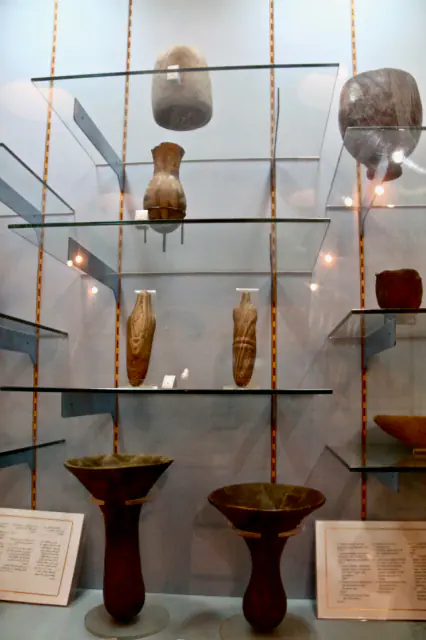
V–IV millennium BCE
Before Nubia
Nubia, Kerma and Kush
Interval of the V–IV millennia BCE of the element, not of the entire preceding period.
Read the record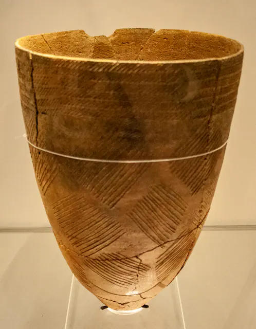
Middle Neolithic, c. 4000 BCE
Before Gojoseon
Gojoseon and early Korea
Date of the ceramic element, not of the preceding period.
Read the record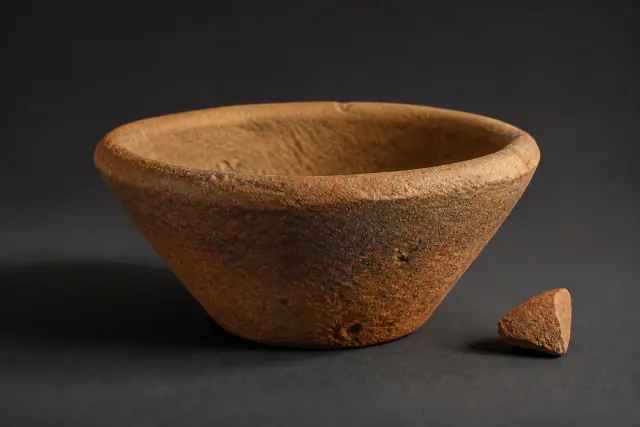
ca. 3500–3000 BCE
Bevel-rimmed bowl
Sumer
The wage ration hypothesis is not used as a functional label.
Read the record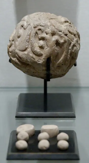
3500–2900 BCE · proto-urban period; towards 3300 BCE as a guide, not exact date
Susa accounting bulla
Sumer
Posted range; "towards 3300" is just orientation within that range.
Read the record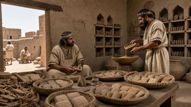
c. 3100–2900 BCE
Jemdet Nasr
Sumer
Approximate dating according to the record.
Read the record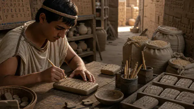
c. 3100–2900 BCE
Account of malt and barley
Sumer
Approximate dating according to the record.
Read the record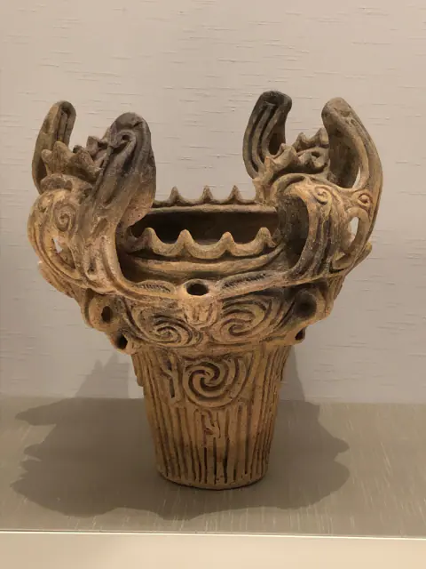
Middle Jōmon, ca. 3000 BCE
Before Yayoi
Yayoi Japan
Date of the Jōmon element, not of the entire preceding period.
Read the record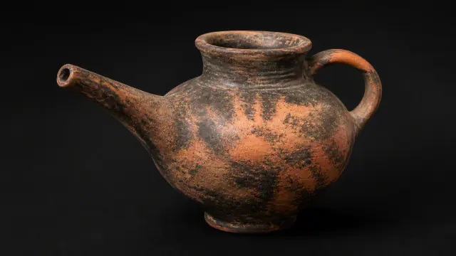
ca. 2500–2200 BCE
Vasiliki
Greek worlds
Date range for the regional pottery assemblage.
Read the record
c. 2500–2000 BCE
Before Ancient China
Ancient China
Approximate dating according to the record.
Read the record
c. 2500–2000 BCE
Longshan
Ancient China
Date range for the Longshan pottery assemblage.
Read the record
c. 19th century BCE
Before the Hittites
Hittites
Date of the representative document, not of the entire preceding period.
Read the record
Kotosh-Mito Tradition, c. 2200–1500 BCE; the enclosure is usually situated around 1800 BCE.
Before Pre-Inca Cultures
Pre-Inca cultures
Element tradition interval; "around 1800" orients the enclosure.
Read the record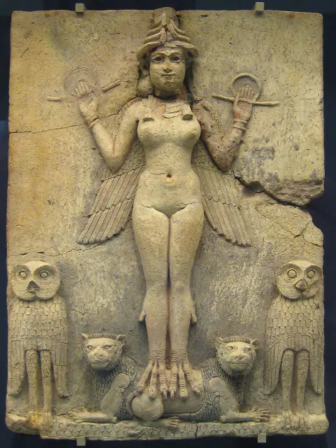
19th–18th centuries BCE
Queen of the Night
Sumer
Approximate dating according to the record.
Read the record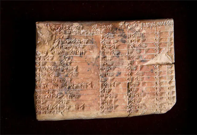
Paleo-Babylonian period · around 1800 BCE
Plimpton 322
Sumer
Approximate dating according to the record.
Read the record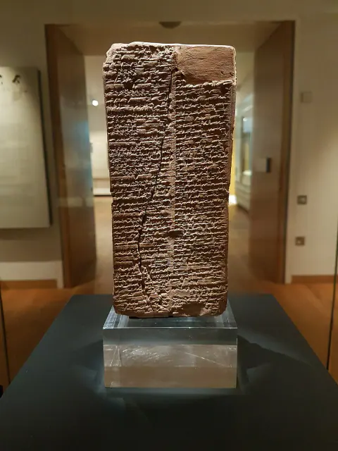
Towards 1800 BCE
Sumerian King List
Sumer
Date of preserved copy, not of reigns listed.
Read the record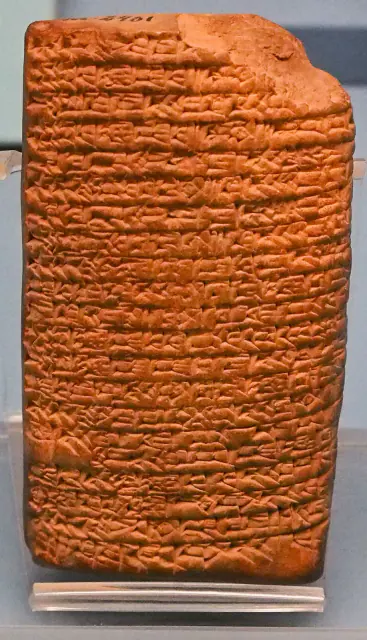
Paleo-Babylonian copy, around 1900–1600 BCE according to CDLI
Love song to Shu-Sin
Sumer
Date of the preserved Paleo-Babylonian copy, not of the origin of the song.
Read the record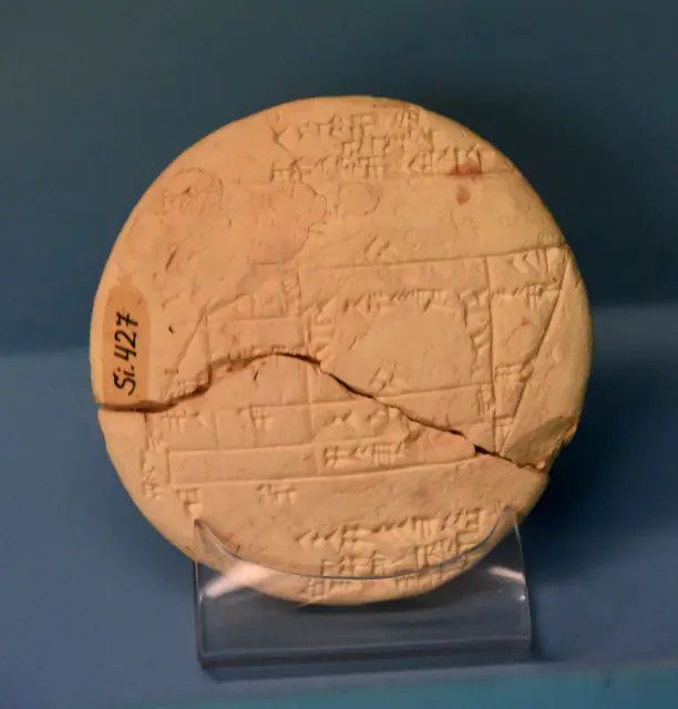
Towards 1900–1600 BCE · paleobabylonian; uncertain chronological attribution in CDLI
Si.427 tablet
Sumer
Unclear chronological attribution in CDLI.
Read the record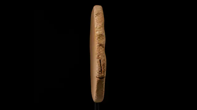
≈1700–1650 BCE
Phaistos Disc
Greek worlds
The signs have no accepted reading.
Read the record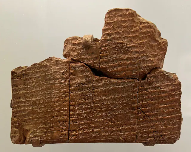
Towards 1650 BCE
Sumerian Flood of Nippur
Sumer
Approximate dating according to the record.
Read the record
Above all 17th–13th centuries BCE
Overlapping datesBoğazköy Archive
Hittites
Main date range for the archive, not a single date for all the tablets.
Read the record
c. 1375 BCE
Linear B
Greek worlds
Approximate dating according to the record.
Read the record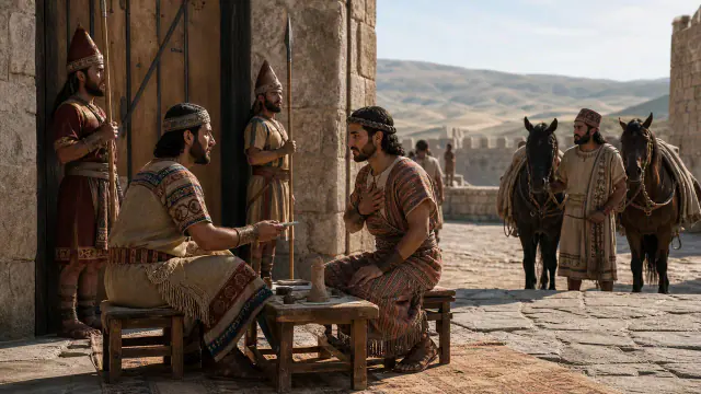 You are viewing
c. 1300 BCE
Alaksandu of Wilusa
Hittites
Approximate dating according to the record.
Current record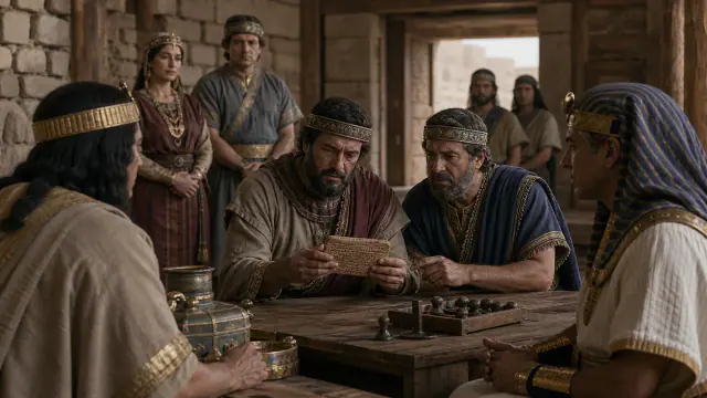
c. 1259 BCE, year 21 of Ramesses II
Treaty with Egypt
Hittites
Date of the treaty and its copy; not of the origin of relations between the two kingdoms.
Read the record
7th century BCE
Flood Tablet
Sumer
Approximate dating according to the record.
Read the record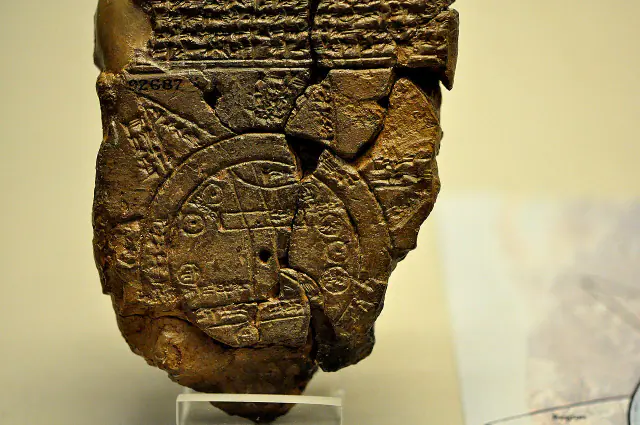
Towards 700–500 BCE
Babylonian map of the world
Sumer
Approximate dating according to the record.
Read the record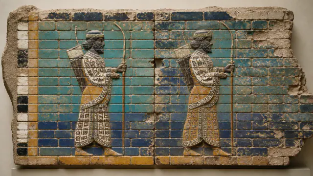
522–486 BCE
Glazed brick guards
Achaemenid Persia
Date range associated with the reign of the decoration.
Read the record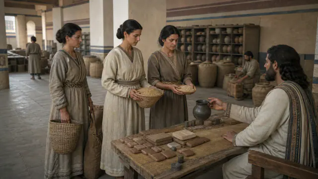
Towards 509–493 BCE
Rations for women and children
Achaemenid Persia
Date range of the archive and its documents.
Read the record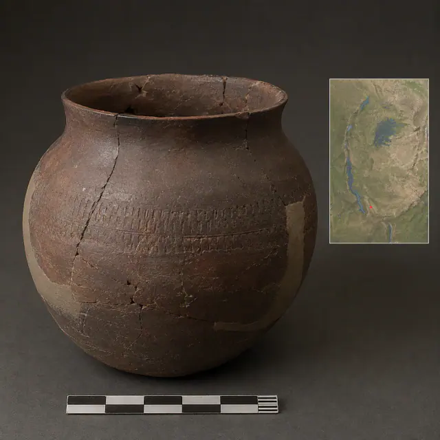
regional range c. 800 BCE–650 CE
Urewe vessel
Bantu-speaking worlds
Regional date range for the Urewe type, not an individual date for each vessel.
Read the record
Also connected, without a comparable date (8)
These objects are not placed after the others: an unknown date does not mean a more recent object.
- A White Wall on the DanubeCeltic worlds · 6th century BCE
- Blue that does not yieldMaya worlds · Documented use from the Classic, c. 300–1500 CE
- Cyrus speaks as king of BabylonAchaemenid Persia · After the conquest of Babylon in 539 BCE
- Early potteryMande Worlds · before ca. 9400 cal BCE
- Made in GaramaGaramantes · I millennium BCE–I millennium CE
- Piece-mold castingAncient China · c. 1600–1046 BCE
- The unfinished gestureBatwa / Twa histories · 1947
- Vessels without a languageBantu-speaking worlds · Urewe, broad regional range ca. 800 BCE–650 CE
A closer look
About 1 min to read · 1 section. Further reading and sources · free access. Editorial review recorded: .
The museum fragment is not equivalent to the entire treaty
Piece 108569 in the British Museum preserves nineteen lines and measures approximately eight by six centimetres. Its record indicates acquisition from Artin Indjoudjian in 1913 and general provenance from Boğazköy; it does not provide an excavation room. Distinguishing this fragment from the philological reconstruction of the treaty avoids imagining that the entire diplomatic narrative is written on the small exposed surface. Editions gather and compare testimonies, while collection history informs what material context can truly be affirmed for this concrete piece.
- Museum · British Museum · Treaty fragment 108569Access recorded: .
Location and territory
LOCATED SITE
Hattusa and Yazılıkaya · TurkeyLandscape marker of the Hittite capital.Where it is held
The British Museum
Item or group in the record · Documented collection
The holding institution is documented; public display may change. Check its official record before visiting.
Sources and references
Did you enjoy this exhibit?
Your opinion helps us improve the museum. You can change it whenever you like.
Loading your rating…