
 English
 Español
 Français
 Italiano
 Deutsch
 Русский
 Português
 Polski
 Română
 Svenska
 Norsk bokmål
 Suomi
 Türkçe
 العربية
 简体中文
 한국어
 हिन्दी
 Ελληνικά
19 · Treasure · community knowledge
A map with the right to be closed
Participatory cultural map of Bwindi and Mgahinga
Thirty-two participants identified places, species and memories; the community decides what information can be made public.
Museum documentation · free public access, no account required.
Editorial visualisation · Contextual correspondence
Declared editorial visualisation, based on the cartography and sources of the fact sheet; it is not an exact historical frontier.
History and context
Thirty-two participants from five settlements carried out walks, interviews and three-dimensional mapping of places, species, practices and memories.
The public version should only explain the method. Routes, sanctuaries and medicinal knowledge belong to community layers or closed ones.
Evidence and interpretation
Participatory cultural evaluation conducted in 2012 and published in 2013.
Catalogue facts
- Narrative date
- 2012–2013
- Location
- Rushaga, Kitahurira, Sanuriro, Rukeri and Musasa; Uganda
- Material
- 3D map, tours, interviews and knowledge
- Context
- Shared authority among participants, communities and UOBDU.
- Curatorial reading
- The documented fact and its interpretation appear separately in the evidence block.
- Dossier axis
- treasures
- Research record
- BATWA · treasure-participatory-cultural-map
- Documentary coverage
- 1 museum source, heritage, primary corpus or research for this stop.
A SHARED TOPIC, DIFFERENT MOMENTS
Objects connected through time
Follow a topic across the collections. A shared tag is a way to compare objects, not proof that one culture influenced another.
The order uses the midpoint of each approximate date range; ranges can overlap. Spacing does not represent elapsed time. Swipe, scroll or use the arrows. With the sequence focused, use ← / →, Home or End.
Maps4 dated objects
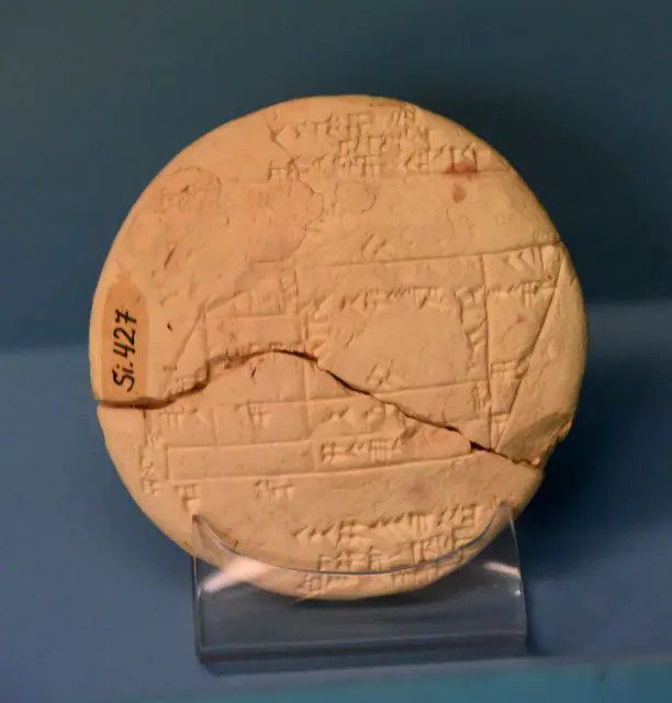
Towards 1900–1600 BCE · paleobabylonian; uncertain chronological attribution in CDLI
Si.427 tablet
Sumer
Unclear chronological attribution in CDLI.
Read the record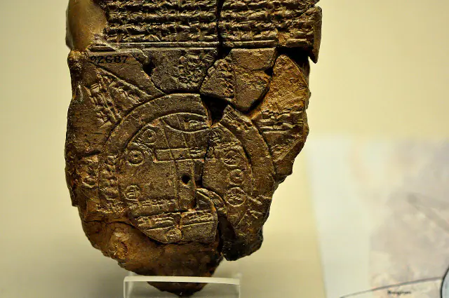
Towards 700–500 BCE
Babylonian map of the world
Sumer
Approximate dating according to the record.
Read the record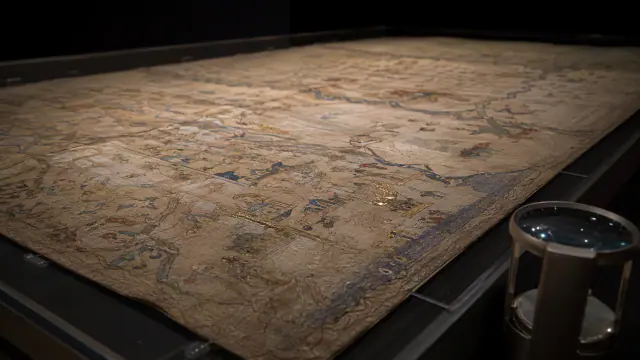
after 1375 and before November 1380
Catalan Atlas
Mande Worlds
Documented chronological limits: after 1375 and before November 1380; the exact year of production is not known.
Read the record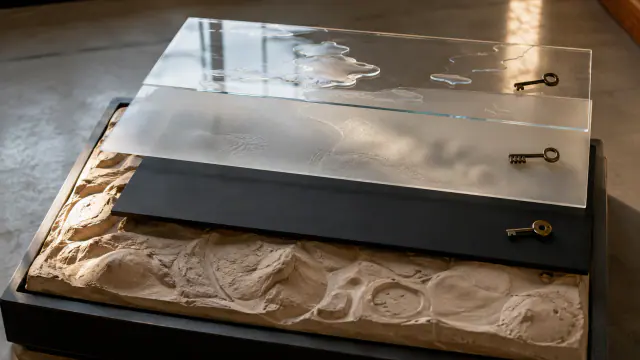 You are viewing
2012–2013
A map with the right to be closed
Batwa / Twa histories
Date of the process and participatory cartographic document, not of the territory's occupation.
Current record
A closer look
About 1 min to read · 1 section. Further reading and sources · free access. Editorial review recorded: .
The map was repaired too
The project's annual report for 2013–2014 documents a subsequent intervention on the model: senior Batwa renewed place-name labels in the forest and a wooden and glass protective cover was built to facilitate consultation. The model remained linked to UOBDU in Kisoro; moreover, reproductions on panels were prepared for partner institutions. These operations show that a participatory map has maintenance, custodians and successive publics. Changing a label or deciding where to display it belongs to its history as much as the initial moment of modelling the relief.
Sources and references
Did you enjoy this exhibit?
Your opinion helps us improve the museum. You can change it whenever you like.
Loading your rating…