
 English
 Español
 Français
 Italiano
 Deutsch
 Русский
 Português
 Polski
 Română
 Svenska
 Norsk bokmål
 Suomi
 Türkçe
 العربية
 简体中文
 한국어
 हिन्दी
 Ελληνικά
AFRICA · ALGERIA
Tassili n’Ajjer
Paintings of a different Sahara
The paintings show people and animals from times when the Sahara was wetter.
Museum documentation · free public access, no account required.
Documentary original · Exact correspondence
Documentary photograph of the original or the site indicated in the record.
CC BY-SA 4.0
History and context
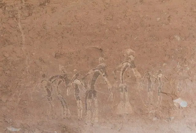
The figures of Tassili seem to move across the sandstone: bodies that run, gather or dance, alongside animals that would be impossible in that landscape today. Hippopotamuses, large bovids and pastoral scenes turn the walls into an archive of climate change.
More than 15,000 paintings and engravings allow us to follow the transformation of the wet Sahara into the present desert. They do not tell of a single culture or a unique moment: they are layers of life deposited over millennia, from hunting communities to pastoral societies.
Evidence and interpretation
The corpus extends approximately from 6000 BCE to the first centuries CE, with earlier regional vestiges. The specific panel lacks a secure individual date and the word "dance" describes a visual interpretation, not a proven fact.
Catalogue facts
- Date
- Corpus ≈6000 BCE–first centuries CE
- Location
- Tassili n’Ajjer · Djanet area, Algeria
- Support
- Rock shelters and sandstone walls
- Subject
- Human figures, wild fauna and livestock
- Scale
- More than 15,000 documented paintings and engravings
- Reading
- Climate, mobility and ways of life changed together
A SHARED TOPIC, DIFFERENT MOMENTS
Objects connected through time
Follow a topic across the collections. A shared tag is a way to compare objects, not proof that one culture influenced another.
The order uses the midpoint of each approximate date range; ranges can overlap. Spacing does not represent elapsed time. Swipe, scroll or use the arrows. With the sequence focused, use ← / →, Home or End.
THE CURRENT OBJECT
Its date is not sufficiently established to place it on the timeline. We keep it here, separate from the dated objects.
 You are viewing
Corpus ≈6000 BCE–first centuries CE
Tassili n’Ajjer
Prehistory
Extensive corpus with end date 'early centuries CE' not delimited; no individual panel date.
Current recordPigments14 dated objects
≈77,000–75,000 years
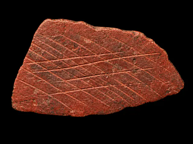
Engraved ochre from Blombos
Prehistory
Approximate catalogue age; editorial reference 2026 for ordering only, not calibrated dating.
Read the record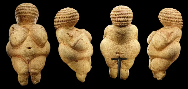
≈29,500 years
Willendorf
Prehistory
Approximate catalogue age; editorial reference 2026 for ordering only, not calibrated dating.
Read the record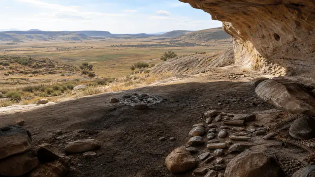
≈25.500–23.500 BCE
Before the San
San histories
Date of the representative element, not ethnic attribution of its authors.
Read the record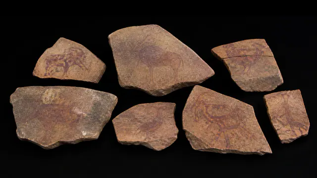
≈25.500–23.500 BCE
Before the name San
San histories
Dating of the context of the slabs; anonymous authors.
Read the record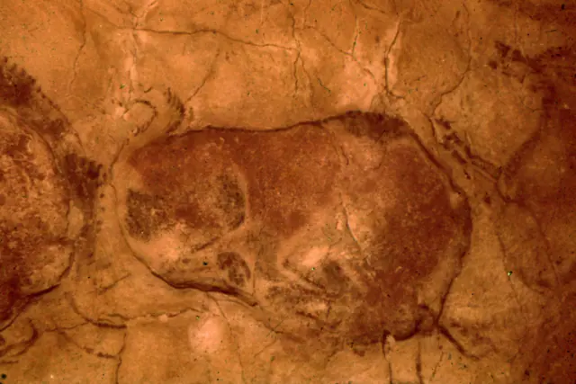
Assemblage ≈36,000–13,000 BP · bison ≈18,400–15,300 cal BP
Altamira
Prehistory
Assemblage range ≈36,000–13,000 BP, converted with 1950 origin; not a single date for the bison. It is an approximate scale conversion for ordering; not a new radiocarbon calibration.
Read the record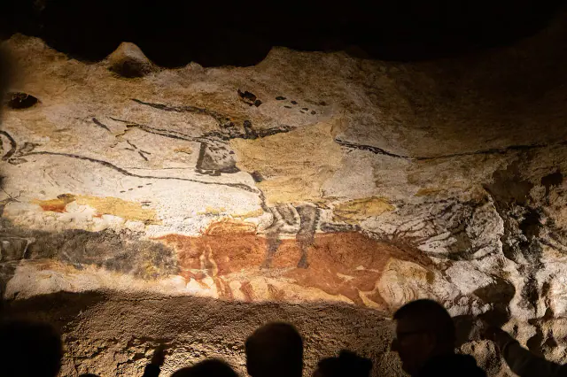
≈23,500–21,000 cal BP · debated contextual estimate
Lascaux
Prehistory
≈23,500–21,000 cal BP with 1950 origin; debated contextual estimate, replica image. It is an approximate scale conversion for ordering; not a new radiocarbon calibration.
Read the record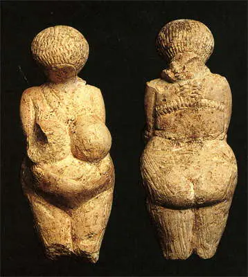
≈23,000–21,000 years
Kostenki I
Prehistory
Approximate catalogue age; editorial reference 2026 for ordering only, not calibrated dating.
Read the record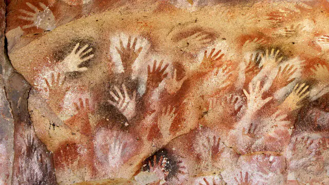
Sequence ≈9300–1300 BP
Cueva de las Manos
Prehistory
Sequence ≈9300–1300 BP converted with 1950 origin; not a single date for all images. It is an approximate scale conversion for ordering; not a new radiocarbon calibration.
Read the record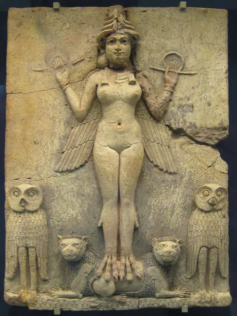
19th–18th centuries BCE
Queen of the Night
Sumer
Approximate dating according to the record.
Read the record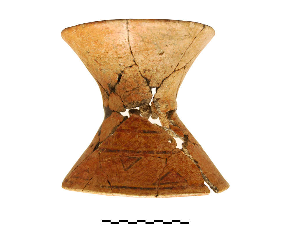
8th–7th centuries BCE · orientalizing
Ceramic stand 1010
Iberians
Chronology of the funerary context of Tomb 5, Orientalising horizon.
Read the record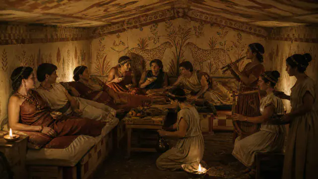
Around 480–470 BCE
Banquet under leopards
Etruscans and Rome
Approximate dating according to the record.
Read the record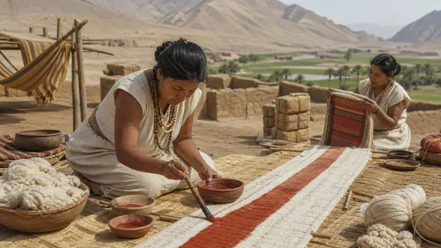
4th–3rd centuries BCE
The Karwa textile
Pre-Inca cultures
Approximate dating according to the record.
Read the record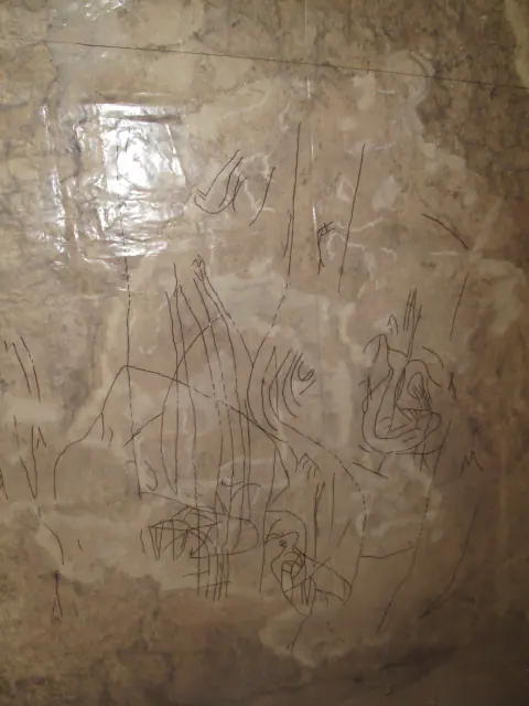
c. 100 BCE
The walls of San Bartolo
Maya worlds
Approximate dating according to the record.
Read the record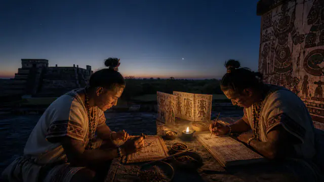
Preserved manuscript: Postclassic, probably 13th–14th centuries; earlier knowledge
Venus in the codex
Maya worlds
Probable date of the preserved manuscript, not of the origin of its knowledge.
Read the record
Also connected, without a comparable date (8)
These objects are not placed after the others: an unknown date does not mean a more recent object.
- BhimbetkaPrehistory · Mesolithic–historical and medieval period
- Blue that does not yieldMaya worlds · Documented use from the Classic, c. 300–1500 CE
- Eland CavePrehistory · Regional tradition of ≈4,000 years · up to historical period
- Game Pass ShelterSan histories · Regional rock art chronology · panel not dated in isolation
- KakaduPrehistory · Regional corpus ≈20,000 BP–contemporary era
- Leang KarampuangPrehistory · Minimum 51,200 years · dating published in 2024
- Quinkan CountryPrehistory · Regional art up to ≈27,000 BP · modern continuity
- Sierra de San FranciscoPrehistory · Broad tradition with direct dates ≈5290–295 BP
A closer look
About 1 min to read · 1 section. Further reading and sources · free access. Editorial review recorded: .
The archive continues beyond the painted surface
In Tassili, dwellings, tumuli, enclosures, lithic tools and ceramics are also documented. These remains allow the images to be situated in landscapes used by successive populations, rather than treating them as loose illustrations of the climate. The enormous plateau, of some 72,000 square kilometres, requires comparing zones and periods before constructing a general explanation. A painted animal is of interest for its form, but also for its relationship with other vestiges: the history of occupying the Sahara is not written solely on the walls.
Location and territory
REGIONAL AREA
Tassili n'Ajjer · AlgeriaThe corpus occupies an immense landscape; the marker indicates its orientative centre, not a specific panel.Sources and references

Did you enjoy this exhibit?
Your opinion helps us improve the museum. You can change it whenever you like.
Loading your rating…