
 English
 Español
 Français
 Italiano
 Deutsch
 Русский
 Português
 Polski
 Română
 Svenska
 Norsk bokmål
 Suomi
 Türkçe
 العربية
 简体中文
 한국어
 हिन्दी
 Ελληνικά
11 · CONTACT · PERSIAN GULF
Meluhha
The Indus at Mesopotamia’s table
Seals, worked stones and texts document contacts between the Indus, Oman and Mesopotamia.
Museum documentation · free public access, no account required.
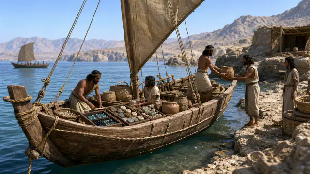
Generated reconstruction · Declared visual hypothesis
Declared visual reconstruction for museographic context; it is not a photograph of the original nor documentary evidence.
History and context
Dholavira and other Indus centres participated in networks that reached Oman and Mesopotamia. In Mesopotamian texts appears Meluhha, a term habitually related to the Indus region.
The connection is potent precisely because it is not closed. Objects allow speaking of circulation and contact; reconstructing who sailed each voyage requires avoiding an overly clean map.
Mesopotamian texts place Meluhha alongside Dilmun and Magan in maritime networks. Harappan-tradition seals and beads offer independent material evidence.
A merchant could cross several ports or trade via intermediaries. That is why “contact” does not mean that each object travelled from Harappa in a single ship.
Evidence and interpretation
Documented fact: UNESCO highlights Dholavira’s contacts with Mesopotamia and Oman; archaeology records exchange in the gulf. Interpretation and caution: The absolute equivalence of Meluhha with a unique Harappan state, or the nationality of each merchant, are not demonstrated. Expanded documentation: Cuneiform sources mention Meluhha and Indus-linked seals and products are known in the Gulf and Mesopotamia. Expanded interpretation and caution: The Meluhha–Indus civilisation equivalence is solid but does not delimit an exact frontier nor identify all its inhabitants.
Catalogue facts
- Narrative date
- ca. 2600–1900 BCE
- Location
- Indus Valley, Gujarat, Oman and Mesopotamia
- Material
- Carnelian, shell, copper, seals and pottery
- Context
- Exchange networks
- Curatorial reading
- The documented fact and its interpretation appear separately in the evidence block.
- Mesopotamian names
- Meluhha, Dilmun and Magan
- Indicators
- Seals, carnelian, shell and texts
- Documentary coverage
- 4 museum, heritage, primary corpus or research sources for this stop.
A SHARED TOPIC, DIFFERENT MOMENTS
Objects connected through time
Follow a topic across the collections. A shared tag is a way to compare objects, not proof that one culture influenced another.
The order uses the midpoint of each approximate date range; ranges can overlap. Spacing does not represent elapsed time. Swipe, scroll or use the arrows. With the sequence focused, use ← / →, Home or End.
THE CURRENT OBJECT
Its date is not sufficiently established to place it on the timeline. We keep it here, separate from the dated objects.
 You are viewing
ca. 2600–1900 BCE
Meluhha
Indus civilisation
Long-term exchange networks, not the date of a single object.
Current recordOrnamental stones6 dated objects
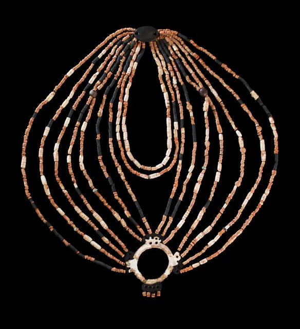
≈7250–7000 BCE
'Jamila's' necklace
Prehistory
Approximate dating according to the record.
Read the record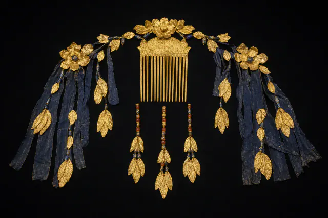
ca. 2600–2450 BCE
Puabi headdress
Sumer
Approximate dating according to the record.
Read the record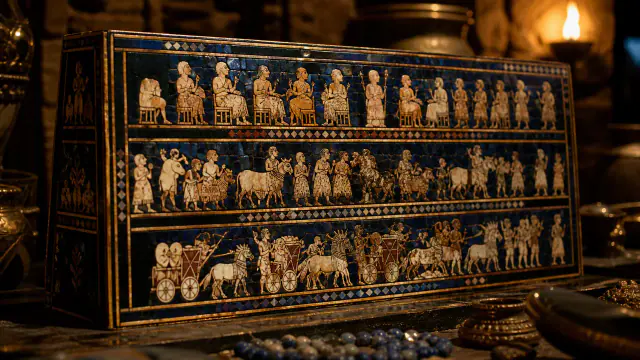
ca. 2600–2400 BCE
Standard of Ur
Sumer
Unknown function; The scenes do not prove that it was a banner.
Read the record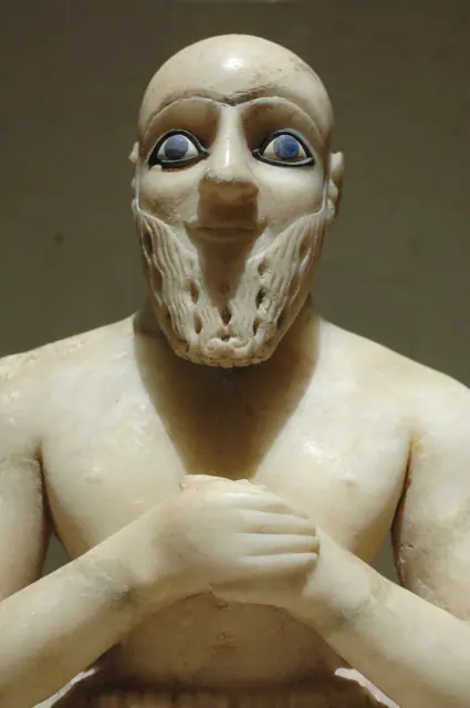
Towards 2400 BCE
Statue of Ebih-Il
Sumer
Approximate dating according to the record.
Read the record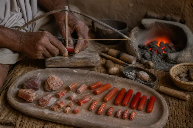
ca. 2600–1900 BCE
Carnelian beads
Indus civilisation
Archaeological framework of the bead assemblage and its production.
Read the record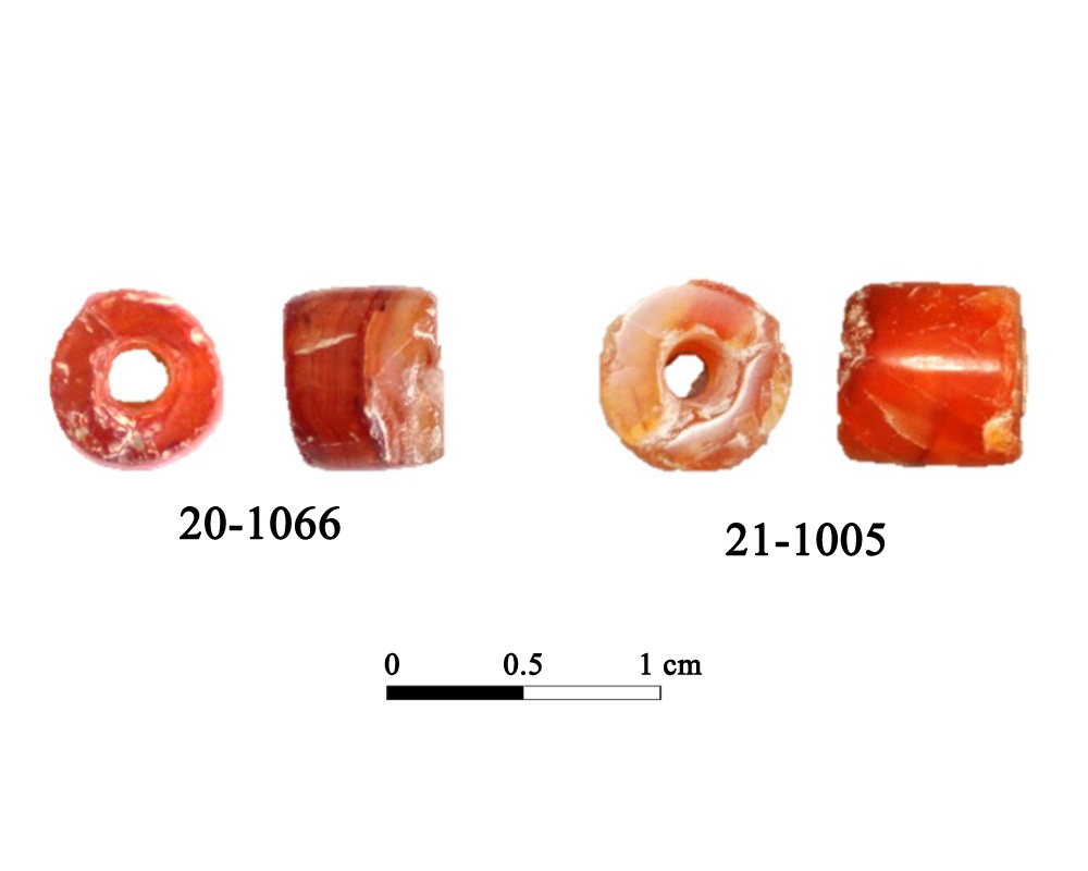
8th–7th centuries BCE · orientalizing
Beads from Cerro de los Vientos
Iberians
Chronology of the funerary context of Tomb 5, Orientalising horizon.
Read the record
A closer look
About 1 min to read · 1 section. Further reading and sources · free access. Editorial review recorded: .
Cooking pots also crossed the sea
The study by Méry and collaborators on Salūt ST1, in Oman, analyses Indus-tradition pottery dated approximately between 2400 and 2100 BCE. It includes jars, perforated vessels and footed plates, besides large jars with black slip. The forms linked to preparing and serving food point to more varied contacts than the exchange of ornaments. The jars could transport products and be reused, while other vessels allow investigation of everyday practices. Analysis of materials and manufacture helps distinguish imports from local interactions.
- Research · Harappa · Méry et al., Indus potters in central OmanAccess recorded: .
Location and territory
REGIONAL AREA
Indus Valley, Gujarat, Oman and MesopotamiaPunjab, Sindh, Balochistan and Gujarat within an urban network. The footprint marks the indicative center of the area, not a border or an exact point.Where it is held
The British Museum
Reference material evidence · Documented collection
Seal used as material evidence of contact; the card does not attribute the entire Meluhha network to this institution.
The holding institution is documented; public display may change. Check its official record before visiting.
Sources and references
Did you enjoy this exhibit?
Your opinion helps us improve the museum. You can change it whenever you like.
Loading your rating…