
 English
 Español
 Français
 Italiano
 Deutsch
 Русский
 Português
 Polski
 Română
 Svenska
 Norsk bokmål
 Suomi
 Türkçe
 العربية
 简体中文
 한국어
 हिन्दी
 Ελληνικά
07 · PRACTICE · FLOODPLAIN
Canal and field
Keep the water, keep the city
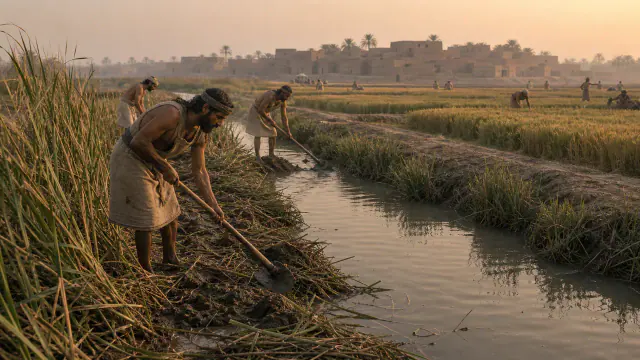
To maintain the canals, sediment had to be removed and their banks continually repaired.
Museum documentation · free public access, no account required.
Generated reconstruction · Declared visual hypothesis
Declared visual reconstruction for museographic context; it is not a photograph of the original nor documentary evidence.
History and context
On the low plain, farming depended on diverting, cleaning, and distributing water. The infrastructure did not end when the canal was excavated: it required schedules, repairs and access agreements.
The scene avoids the mirage of automatic engineering. Channels expand production, but they also create new dependencies between those who coordinate the work and those who live off its results.
An Umma tablet from around 2042 BCE records irrigation work and bears a seal impression. The document proves that, in Ur III, digging or maintaining water could become a quantified and archived obligation.
The canals also accumulated salt and silt, altered fields, and required trading shifts. Its history is social and ecological: a productive infrastructure could benefit some plots and harm others.
Evidence and interpretation
Documented fact: Irrigated agriculture was fundamental in southern Mesopotamia and the archaeological landscape preserves canals and associated settlements. Interpretation and caution: Not every channel implies a centralized State; The scale of coordination varied by time and place. Documented extension: Irrigated agriculture was structural in the south; the Met retains a record of hydraulic work from Ur III and Assyriological research brings together abundant agricultural contracts. Interpretation and expanded caution: The administrative scale of Ur III is after the urbanization of Uruk; It should not be projected unchanged four or five centuries back.
Catalogue facts
- Narrative date
- IV–III millennium BCE
- Location
- Tigris-Euphrates floodplain, Iraq
- Material
- Land, cane, water and wooden tools
- Context
- Agricultural and hydraulic management
- Curatorial reading
- The documented fact and its interpretation appear separately in the evidence block.
- Maintenance
- Silt cleaning, edge repair and flow distribution.
- Risk
- Salinization and displacement of channels in addition to drought.
- File
- Hydraulic works quantified in Ur III tablets.
- Documentary coverage
- 3 museum, heritage, primary corpus or research sources for this stop.
A SHARED TOPIC, DIFFERENT MOMENTS
Objects connected through time
Follow a topic across the collections. A shared tag is a way to compare objects, not proof that one culture influenced another.
The order uses the midpoint of each approximate date range; ranges can overlap. Spacing does not represent elapsed time. Swipe, scroll or use the arrows. With the sequence focused, use ← / →, Home or End.
THE CURRENT OBJECT
Its date is not sufficiently established to place it on the timeline. We keep it here, separate from the dated objects.
 You are viewing
IV–III millennium BCE
Canal and field
Sumer
Agricultural management synthesis; not date of an individual channel or object.
Current recordAgriculture3 dated objects
c. 3100–2900 BCE
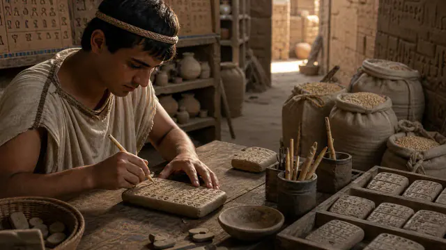
Account of malt and barley
Sumer
Approximate dating according to the record.
Read the record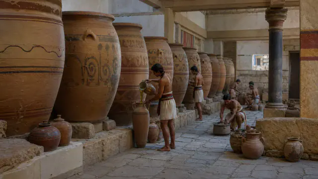
c. 1450–1375 BCE
Pithos
Greek worlds
Approximate dating according to the record.
Read the record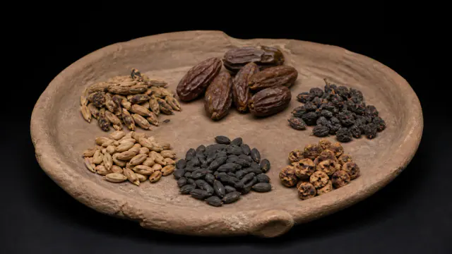
900–400 cal BCE
Seeds of the oasis
Garamantes
Radiocarbon interval of plant remains from the context.
Read the record
Also connected, without a comparable date (4)
These objects are not placed after the others: an unknown date does not mean a more recent object.
- Dia’s strataMande Worlds · 9th century BCE–2nd millennium CE
- Four gardens and waterAchaemenid Persia · 6th century BCE
- Rice on stiltsYayoi Japan · Especially 1st–3rd centuries CE
- Tichitt wallsMande Worlds · II–I millennia BCE
A closer look
About 1 min to read · 1 section. Further reading and sources · free access. Editorial review recorded: .
Precision continues beyond the canal
The Farmer's Instructions recommend eight furrows per nindan width, approximately six meters, and monitoring who drops the seed from the sowing plow. They also indicate a depth expressed in fingers and adjust the plow piece when the grain does not enter correctly. These tips expand the hydraulic landscape towards the small work of the plot. Productivity depended on bringing together water, layout, tools and human attention. Modern equivalences help to interpret the text, without turning it into a manual applied identically in each field.
Where it is held
The Metropolitan Museum of Art
Item or group in the record · Documented collection
The holding institution is documented; public display may change. Check its official record before visiting.
Sources and references
Did you enjoy this exhibit?
Your opinion helps us improve the museum. You can change it whenever you like.
Loading your rating…